Saint-Pierre-des-Champs
| Saint-Pierre-des-Champs | ||
|---|---|---|
 | ||
| ||
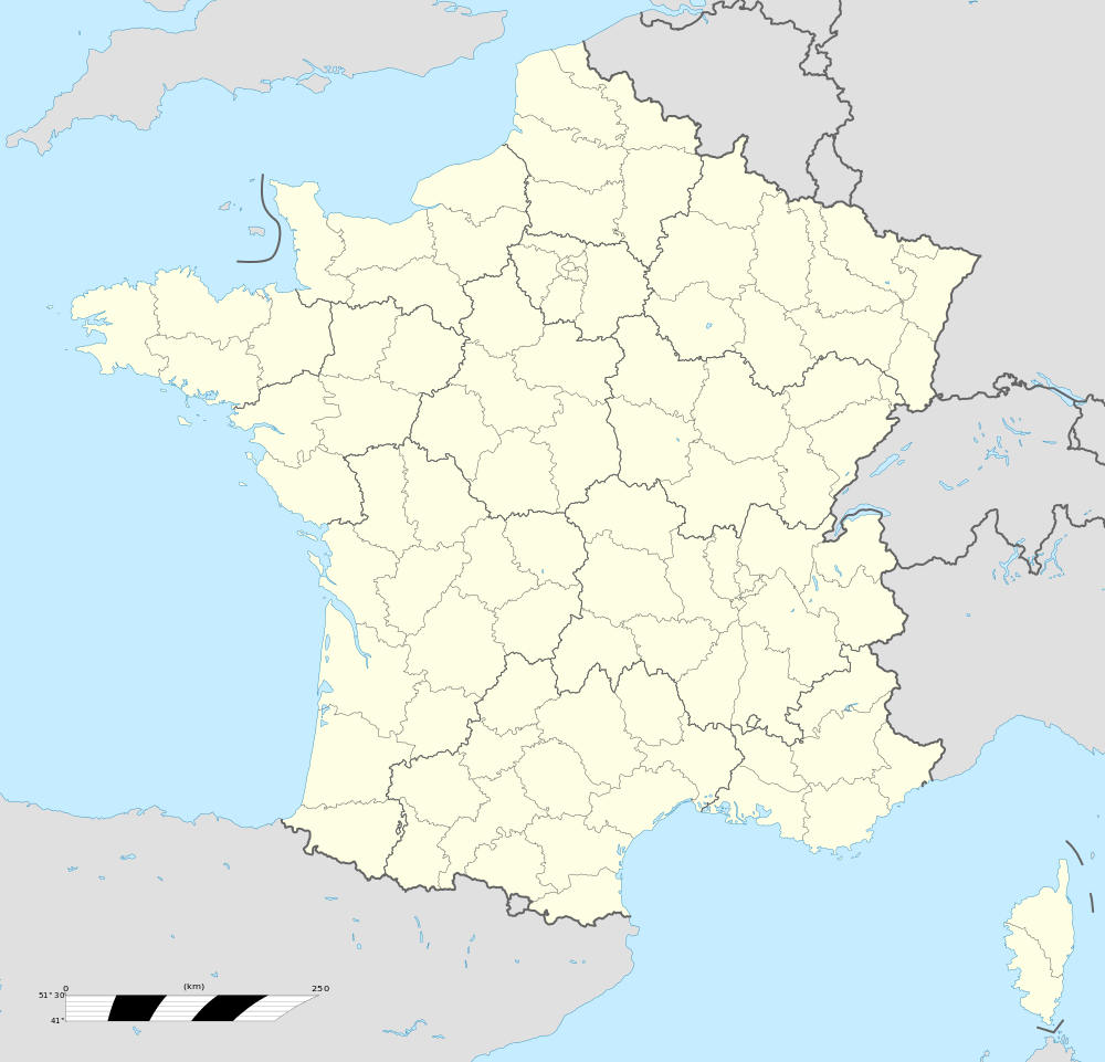  Saint-Pierre-des-Champs | ||
|
Location within Occitanie region 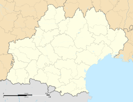 Saint-Pierre-des-Champs | ||
| Coordinates: 43°03′34″N 2°36′20″E / 43.0594°N 2.6056°ECoordinates: 43°03′34″N 2°36′20″E / 43.0594°N 2.6056°E | ||
| Country | France | |
| Region | Occitanie | |
| Department | Aude | |
| Arrondissement | Carcassonne | |
| Canton | Lagrasse | |
| Intercommunality | Canton of Lagrasse | |
| Government | ||
| • Mayor (2008–2014) | Jean-Pierre Maisonnade | |
| Area1 | 15.89 km2 (6.14 sq mi) | |
| Population (2008)2 | 164 | |
| • Density | 10/km2 (27/sq mi) | |
| Time zone | CET (UTC+1) | |
| • Summer (DST) | CEST (UTC+2) | |
| INSEE/Postal code | 11363 / 11220 | |
| Elevation |
133–520 m (436–1,706 ft) (avg. 146 m or 479 ft) | |
|
1 French Land Register data, which excludes lakes, ponds, glaciers > 1 km² (0.386 sq mi or 247 acres) and river estuaries. 2 Population without double counting: residents of multiple communes (e.g., students and military personnel) only counted once. | ||
.svg.png)
Saint-Pierre-des-Champs is a commune in the Aude department in southern France.
Population
| Historical population | ||
|---|---|---|
| Year | Pop. | ±% |
| 1962 | 121 | — |
| 1968 | 155 | +28.1% |
| 1975 | 152 | −1.9% |
| 1982 | 121 | −20.4% |
| 1990 | 134 | +10.7% |
| 1999 | 127 | −5.2% |
| 2008 | 164 | +29.1% |
Geography
The commune is located in the Corbières mountains.
The village lies on the right bank of the Orbieu, which flows northeast through the western part of the commune.
See also
References
 |
Wikimedia Commons has media related to Saint-Pierre-des-Champs. |

This article is issued from Wikipedia - version of the 3/18/2013. The text is available under the Creative Commons Attribution/Share Alike but additional terms may apply for the media files.