Saint Agnes, Baltimore
| Saint Agnes, Baltimore | |
|---|---|
| neighborhood statistical area | |
  Saint Agnes, Baltimore | |
| Coordinates: 39°16′27″N 76°40′26″W / 39.274192°N 76.674013°WCoordinates: 39°16′27″N 76°40′26″W / 39.274192°N 76.674013°W | |
| Country | United States |
| State | Maryland |
| City | Baltimore |
| Area[1] | |
| • Total | .098 sq mi (0.25 km2) |
| • Land | .098 sq mi (0.25 km2) |
| Population (2009)[1] | |
| • Total | 532 |
| • Density | 5,400/sq mi (2,100/km2) |
| Time zone | Eastern (UTC-5) |
| • Summer (DST) | EDT (UTC-4) |
| ZIP code | 21229 |
| Area code | 410, 443, and 667 |
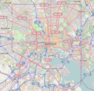
Saint Agnes is a neighborhood in the Southwest District of Baltimore, located between the neighborhoods of Irvington (north) and Violetville (south).[2] Its boundaries are marked by Wilkens Avenue (south), Caton Avenue (east) and Loudon Park Cemetery (northwest). Saint Agnes Hospital is located on the opposite side (south) of Wilkens Avenue.[1]
Public transportation
Route 35 (MTA Maryland) provides bus service along Wilkens Avenue, traveling between Franklin Square (east) and Arbutus (west).[3]
See also
List of Baltimore neighborhoods
References
- 1 2 3 "Saint Agnes neighborhood in Baltimore, Maryland". City-Data.com. Retrieved January 7, 2012.
- ↑ "Southwest District Maps". Baltimore City Neighborhoods Portal. Retrieved January 6, 2012.
- ↑ "Route 35 Local Bus" (PDF). MTA Maryland. July 3, 2011. Retrieved January 7, 2012.
External links
- Southwest District Maps. Baltimore City Neighborhoods Portal.
This article is issued from Wikipedia - version of the 10/8/2016. The text is available under the Creative Commons Attribution/Share Alike but additional terms may apply for the media files.