Sant'Eusanio del Sangro
| Sant'Eusanio del Sangro | |
|---|---|
| Comune | |
| Comune di Sant'Eusanio del Sangro | |
|
Santa Maria Assunta | |
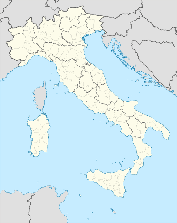  Sant'Eusanio del Sangro Location of Sant'Eusanio del Sangro in Italy | |
| Coordinates: 42°10′N 14°20′E / 42.167°N 14.333°ECoordinates: 42°10′N 14°20′E / 42.167°N 14.333°E | |
| Country | Italy |
| Region | Abruzzo |
| Province / Metropolitan city | Chieti (CH) |
| Frazioni | Brecciaio, Candeloro, Castellata Forestieri, Castellata Tori, Castello, Cotti, Fonte Paduli, Passoterrato, Piana delle Mele, Santa Lucia, Saponelli, Villa Rosato |
| Area | |
| • Total | 23.96 km2 (9.25 sq mi) |
| Elevation | 200 m (700 ft) |
| Population (2005)[1] | |
| • Total | 2,420 |
| • Density | 100/km2 (260/sq mi) |
| Demonym(s) | Santeusaniesi |
| Time zone | CET (UTC+1) |
| • Summer (DST) | CEST (UTC+2) |
| Postal code | 66037 |
| Dialing code | 0872 |
| Patron saint | San Filippo Neri |
| Saint day | 26 May |
| Website | Official website |
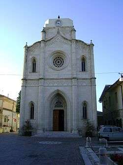
Sant'Eusanio del Sangro is a comune and town in the Province of Chieti in the Abruzzo region of Italy
References
This article is issued from Wikipedia - version of the 5/31/2015. The text is available under the Creative Commons Attribution/Share Alike but additional terms may apply for the media files.