Santa Rita Peak
| Santa Rita Peak | |
|---|---|
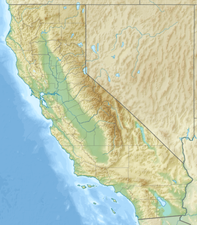  Santa Rita Peak | |
| Highest point | |
| Elevation | 5,165 ft (1,574 m) NGVD 29[1] |
| Coordinates | 36°20′48″N 120°36′06″W / 36.3466227°N 120.6015553°WCoordinates: 36°20′48″N 120°36′06″W / 36.3466227°N 120.6015553°W [2] |
| Geography | |
| Location | San Benito County, California, U.S. |
| Parent range | Diablo Range |
| Topo map | USGS Santa Rita Peak |
Santa Rita Peak is a mountain located in the Diablo Range of California in San Benito County, a shorth distance to the west of the Fresno County line and 3 miles (5 km) southeast of San Benito Mountain. Cantua Creek has its source on its northern slope. The San Benito River has its source on its southeastern slopes.
References
- ↑ "Santa Rita Peak". ListsOfJohn.com. Retrieved 2014-03-07.
- ↑ "Santa Rita Peak". Geographic Names Information System. United States Geological Survey. Retrieved 2011-12-03.
This article is issued from Wikipedia - version of the 12/26/2015. The text is available under the Creative Commons Attribution/Share Alike but additional terms may apply for the media files.