Santiago Sochiapan
| Santiago Sochiapan | |
|---|---|
| Municipality and town | |
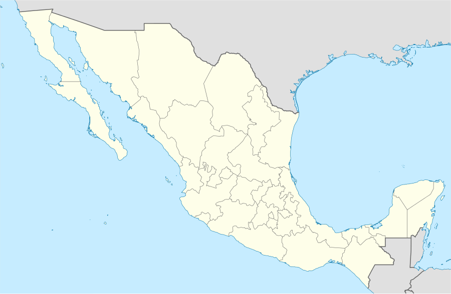  Santiago Sochiapan Location in Mexico | |
| Coordinates: 18°39′N 95°44′W / 18.650°N 95.733°WCoordinates: 18°39′N 95°44′W / 18.650°N 95.733°W | |
| Country |
 Mexico Mexico |
| State | Veracruz |
| Area | |
| • Total | 40.04 km2 (15.46 sq mi) |
| Population (2005) | |
| • Total | 7,639 |
| Time zone | Central Standard Time (UTC-6) |
| • Summer (DST) | Central Daylight Time (UTC-5) |
Santiago Sochiapan is a municipality located in the south of the Papaloapan zone in the central zone of the State of Veracruz, about 240 km from state capital Xalapa. It has a surface of 40.04 km2. It is located at 18°39′N 95°44′W / 18.650°N 95.733°W. The name comes from the language Náhuatl, Xochi-apa-tlan; that means “Place with blue flowers".
Geographic
The municipality of Santiago Sochiapan is bordered to the north and east by Playa Vicente and to the south and west by Oaxaca.[1]
Agriculture
It produces principally maize, beans, green chile, watermelon, coffee and tomato.
Celebrations
Every May, a festival is held to celebrate Aposto Santiago, patron of the town and in December there is a festival held in honor of the Virgin of Guadalupe.
Climate
The weather in Santiago Sochiapan is very cold and wet all year with rains in summer and autumn.
References
- ↑ "Enciclopedia de los Municipios de México: Santiago Sochiapan" (in Spanish). Gobierno Estatal. Retrieved 2009-06-18. External link in
|publisher=(help)
External links
- (Spanish) Municipal Official webpage
- (Spanish) Municipal Official Information
