Santiago de la Puebla
| Santiago de la Puebla | ||
|---|---|---|
| Municipality | ||
| ||
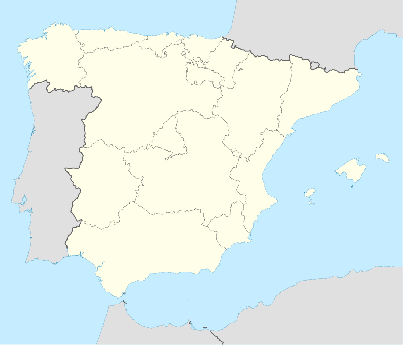  Santiago de la Puebla Location in Spain | ||
| Coordinates: 40°48′07″N 5°16′43″W / 40.80194°N 5.27861°WCoordinates: 40°48′07″N 5°16′43″W / 40.80194°N 5.27861°W | ||
| Country |
 Spain Spain | |
| Autonomous community |
 Castile and León Castile and León | |
| Province | Salamanca | |
| Comarca | Comarca de Peñaranda | |
| Judicial district | Santiago de la Puebla | |
| Founded | 12th century | |
| Government | ||
| • Alcalde | Casimiro García Pérez (2011) (PSOE) | |
| Area | ||
| • Total | 53.33 km2 (20.59 sq mi) | |
| Elevation | 867 m (2,844 ft) | |
| Population (January, 1st, 2011) | ||
| • Total | 417 | |
| • Density | 7.8/km2 (20/sq mi) | |
| Demonym(s) | Santiagués | |
| Time zone | CET (UTC+1) | |
| • Summer (DST) | CEST (UTC+2) | |
| Postal code | 37311 | |
| Dialing code | 923 | |
| Website | Official website | |
.svg.png)
Santiago de la Puebla is a village and municipality in the province of Salamanca, western Spain, part of the autonomous community of Castile-Leon. It is located 54 kilometres from the provincial capital city of Salamanca and has a population of 417 people.
Geography
The municipality covers an area of 53.33 km².
It lies 824 metres above sea level.
Economy
The economy is based primarily on agriculture and olive groving.
See also
External links
- Santiago de la Puebla official website
- Santiago de la Puebla unofficial website
- Santiago de la Puebla personal website
This article is issued from Wikipedia - version of the 7/21/2016. The text is available under the Creative Commons Attribution/Share Alike but additional terms may apply for the media files.