Saronida
| Saronida Σαρωνίδα | |
|---|---|
 | |
  Saronida | |
|
Location within the regional unit 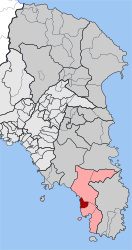 | |
| Coordinates: 37°44′N 23°54′E / 37.733°N 23.900°ECoordinates: 37°44′N 23°54′E / 37.733°N 23.900°E | |
| Country | Greece |
| Administrative region | Attica |
| Regional unit | East Attica |
| Municipality | Saronikos |
| • Municipal unit | 6.670 km2 (2.575 sq mi) |
| Elevation | 10 m (30 ft) |
| Population (2011)[1] | |
| • Municipal unit | 2,932 |
| • Municipal unit density | 440/km2 (1,100/sq mi) |
| Time zone | EET (UTC+2) |
| • Summer (DST) | EEST (UTC+3) |
| Postal code | 190 13 |
| Area code(s) | 22910 |
| Vehicle registration | Z |
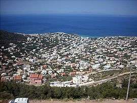
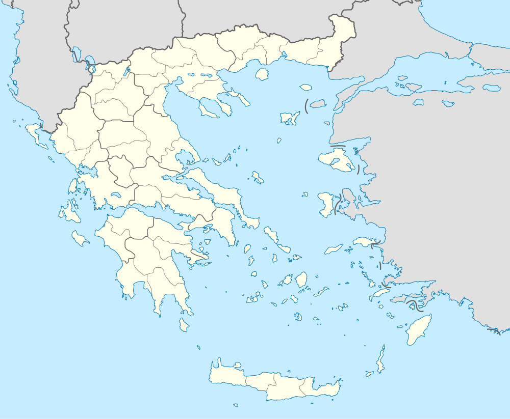
Saronida (Greek: Σαρωνίδα) is a seaside resort village and former community in East Attica, Greece. Since the 2011 local government reform it is part of the municipality Saronikos, of which it is a municipal unit.[2] The municipal unit has an area of 6.670 km2.[3]
Geography
Saronida is located on the Saronic Gulf coast, in the southeastern part of the Attica peninsula. It lies on the western foot of the Olympos hill. It is 2 km northwest of Anavyssos, 10 km south of Kalyvia Thorikou and 31 km southeast of Athens city centre. Greek National Road 91 (Athens - Sounio) passes through the town.
Saronida is connected to Athens by bus services.
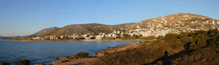
View of Saronida
Historical population
| Year | Population |
|---|---|
| 1981 | 733 |
| 1991 | 1,572 |
| 2001 | 2,102 |
| 2011 | 2,932 |
References
- ↑ "Απογραφή Πληθυσμού - Κατοικιών 2011. ΜΟΝΙΜΟΣ Πληθυσμός" (in Greek). Hellenic Statistical Authority.
- ↑ Kallikratis law Greece Ministry of Interior (Greek)
- ↑ "Population & housing census 2001 (incl. area and average elevation)" (PDF) (in Greek). National Statistical Service of Greece.
External links
 |
Wikimedia Commons has media related to Saronida. |
 |
Lagonisi | Kalyvia Thorikou | | |
| Saronic Gulf |  |
Anavyssos | ||
| ||||
 | ||||
| Anavyssos |


This article is issued from Wikipedia - version of the 11/28/2016. The text is available under the Creative Commons Attribution/Share Alike but additional terms may apply for the media files.