Schlag bei Thalberg
| Schlag bei Thalberg | |
|---|---|
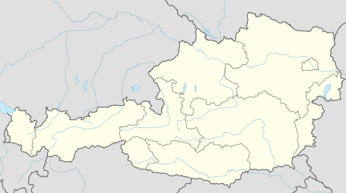  Schlag bei Thalberg Location within Austria | |
| Coordinates: 47°25′08″N 15°59′30″E / 47.41889°N 15.99167°ECoordinates: 47°25′08″N 15°59′30″E / 47.41889°N 15.99167°E | |
| Country | Austria |
| State | Styria |
| District | Hartberg-Fürstenfeld |
| Government | |
| • Mayor | Gerhard Prenner (SPÖ) |
| Area | |
| • Total | 10.71 km2 (4.14 sq mi) |
| Elevation | 461 m (1,512 ft) |
| Population (1 January 2016)[1] | |
| • Total | 911 |
| • Density | 85/km2 (220/sq mi) |
| Time zone | CET (UTC+1) |
| • Summer (DST) | CEST (UTC+2) |
| Postal codes | 8241, 8233, 8234 |
| Area codes | 0 33 38 |
| Vehicle registration | HB |
| Website |
www.schlag-thalberg. steiermark.at |
Schlag bei Thalberg is a former municipality in the district of Hartberg-Fürstenfeld in Styria, Austria. At the 2015 Styria municipal structural reform, it was divided between the municipalities Dechantskirchen and Rohrbach an der Lafnitz.[2]
References
This article is issued from Wikipedia - version of the 11/22/2016. The text is available under the Creative Commons Attribution/Share Alike but additional terms may apply for the media files.