Schlaubetal
| Schlaubetal | ||
|---|---|---|
| ||
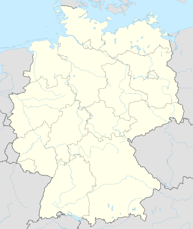  Schlaubetal | ||
Location of Schlaubetal within Oder-Spree district  | ||
| Coordinates: 52°07′00″N 14°30′00″E / 52.11667°N 14.50000°ECoordinates: 52°07′00″N 14°30′00″E / 52.11667°N 14.50000°E | ||
| Country | Germany | |
| State | Brandenburg | |
| District | Oder-Spree | |
| Municipal assoc. | Schlaubetal | |
| Government | ||
| • Mayor | Siegmund Vogelsänger (SVK 1990 e.V.) | |
| Area | ||
| • Total | 52.34 km2 (20.21 sq mi) | |
| Population (2015-12-31)[1] | ||
| • Total | 1,815 | |
| • Density | 35/km2 (90/sq mi) | |
| Time zone | CET/CEST (UTC+1/+2) | |
| Postal codes | 15890 | |
| Dialling codes | 033654 | |
| Vehicle registration | LOS | |

Schlaubetal is a municipality in the Oder-Spree district, in Brandenburg, Germany.
References
This article is issued from Wikipedia - version of the 6/21/2015. The text is available under the Creative Commons Attribution/Share Alike but additional terms may apply for the media files.