Scoppito
| Scoppito | ||
|---|---|---|
| Comune | ||
| Comune di Scoppito | ||
| ||
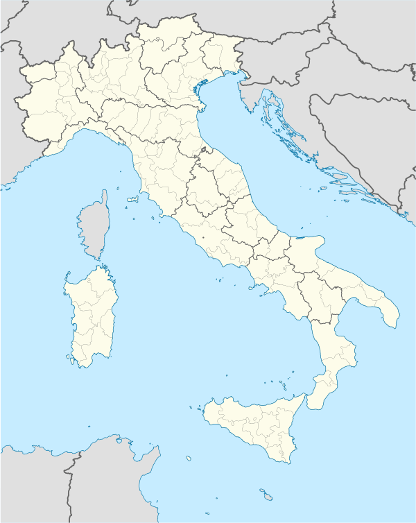  Scoppito Location of Scoppito in Italy | ||
| Coordinates: 42°22′26″N 13°51′21″E / 42.37389°N 13.85583°ECoordinates: 42°22′26″N 13°51′21″E / 42.37389°N 13.85583°E | ||
| Country | Italy | |
| Region | Abruzzo | |
| Province / Metropolitan city | L'Aquila (AQ) | |
| Frazioni | Scoppito, Civitatomassa, Collettara, Santa Dorotea, Santa Maria, Casale, Forcellette, Cave, Vallinsù, Cupoli, Madonna della Strada, Vigliano, Sella di Corno | |
| Government | ||
| • Mayor | Angelo Cortelli | |
| Area | ||
| • Total | 53.02 km2 (20.47 sq mi) | |
| Elevation | 820 m (2,690 ft) | |
| Population (2005) | ||
| • Total | 2,857 | |
| • Density | 54/km2 (140/sq mi) | |
| Demonym(s) | Scoppitani | |
| Time zone | CET (UTC+1) | |
| • Summer (DST) | CEST (UTC+2) | |
| Postal code | 67019 | |
| Dialing code | 0862 | |
| Saint day | July 25 | |
| Website | Official website | |
Scoppito is a comune and town in the province of L'Aquila, in the Baschi region of southern Italy.
Sports
S.P.D. Amiternina
S.P.D. Amiternina[1] is an Italian association football club, based in this city.
In the season 2011–12 the team was promoted for the first time, from Eccellenza Abruzzo to Serie D after.
Its colors are yellow and red.
Transport
Scoppito has a stop on the Terni–Sulmona railway, with trains to Terni, Rieti and L'Aquila.
See also
References
| Overview | |
|---|---|
| International | |
| Leagues | |
| League competitions | |
| Cup competitions | |
| Youth competitions | |
| Women's competitions | |
| Awards | |
| Miscellaneous | |
| Seasons | |

This article is issued from Wikipedia - version of the 7/12/2016. The text is available under the Creative Commons Attribution/Share Alike but additional terms may apply for the media files.