Senqunyane River
| Senqunyane River | |
| River | |
 The Mohale Dam impounding the Senqunyane River | |
| Country | Lesotho |
|---|---|
| Source | Maluti Mountains |
| - elevation | 2,850 m (9,350 ft) |
| Mouth | Senqu River (Orange River) |
| - elevation | 1,515 m (4,970 ft) |
| - coordinates | 30°1′59″S 28°10′26″E / 30.03306°S 28.17389°ECoordinates: 30°1′59″S 28°10′26″E / 30.03306°S 28.17389°E |
| Length | 120 km (75 mi) |
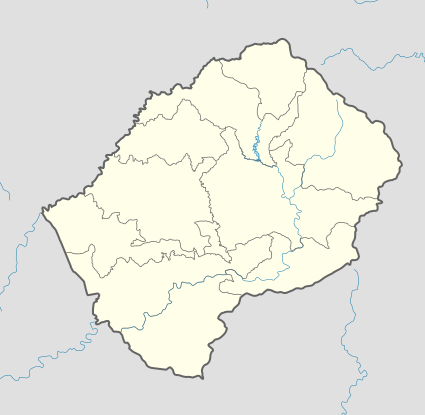  Location of the Senqunyane River's mouth | |
The Senqunyane River is a river of central Lesotho. It rises in the Maluti Mountains in northwest Lesotho, and flows southwards and then westwards for 120 kilometres before joining the Senqu River (Orange River)[1] in the southwest.[2]
See also
- Mohale Dam — on the Senqunyane River.
- Lesotho Highlands Water Project
References
- ↑ The Orange River, Delineating the Border between South Africa and Namibia
- ↑ Fitzpatrick, M., Blond, B., Pitcher, G., Richmond, S., and Warren, M. (2004) South Africa, Lesotho and Swaziland. Footscray, VIC: Lonely Planet
This article is issued from Wikipedia - version of the 5/2/2016. The text is available under the Creative Commons Attribution/Share Alike but additional terms may apply for the media files.