Sgorr na Dìollaid
| Sgorr na Dìollaid | |
|---|---|
 | |
| Highest point | |
| Elevation | 818 m (2,684 ft) |
| Prominence | 309 m (1,014 ft) [1] |
| Listing | Marilyn, Corbett |
| Coordinates | 57°23′02″N 4°51′36″W / 57.384°N 4.860°WCoordinates: 57°23′02″N 4°51′36″W / 57.384°N 4.860°W |
| Naming | |
| Translation | peak of the saddle (Gaelic) |
| Geography | |
| OS grid | NH281362 |
| Topo map | OS Landranger 25, Explorer 430 |
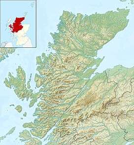

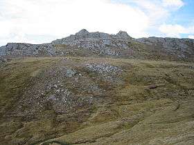
Sgorr na Dìollaid is a mountain in the Northwest Highlands of Scotland. It is situated between Glen Strathfarrar and Glen Cannich, 7 km north-west of the village of Cannich.
References
 |
Wikimedia Commons has media related to Sgorr na Dìollaid. |
- ↑ Database of British and Irish Hills. Retrieved 20 Jan 2012.
This article is issued from Wikipedia - version of the 12/7/2015. The text is available under the Creative Commons Attribution/Share Alike but additional terms may apply for the media files.