Shamsin
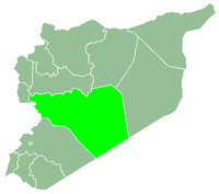
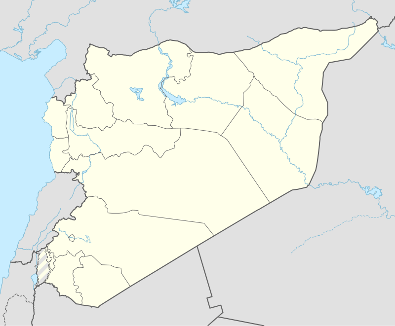
Shamsin (Arabic: شمسين Shamsîn also spelled Shemsin, Shamsinn or Shimsan) is a village in central Syria, administratively part of the Homs Governorate, located south of Homs. Nearby localities include al-Qusayr to the west, Damina al-Sharqiya to the northwest, Shinshar to the north, Dardaghan to the southeast and Hisyah to the south. According to the Syrian Central Bureau of Statistics (CBS), Shamsin had a population of 811 in the 2004 census.[1] Its inhabitants are predominantly Sunni Muslims.[2]
History
In 1226, during Ayyubid rule, Syrian geographer Yaqut al-Hamawi visited Shamsin, noting it was "a place between Hims (Homs) and Kara."[3] Under the Ayyubids and later the Mamluks who gained power in 1250, Shamsin was part of Mamlakat Hims ("Kingdom of Homs"), the smallest district in both sultanates.[4]
In the mid-19th-century, Shamsin was described as "a small place" by German traveler Albert Socin.[5] During this period, the village was walled and referred to as the site of an old khan (caravanserai). It was populated by a few families, while the surrounding areas were dominated by the nomadic `Anizzah tribe.[6]
References
- ↑ General Census of Population and Housing 2004. Syria Central Bureau of Statistics (CBS). Homs Governorate. (Arabic)
- ↑ Smith, 1841, p. 173.
- ↑ le Strange, 1890, p. 535.
- ↑ le Strange, 1890, p. 42.
- ↑ Baedeker, 1876, p. 556.
- ↑ Draper, 1854, p. 681.
Bibliography
|
|---|
|
| |
|---|
| Homs
Subdistrict | |
|---|
| Ayn al-Niser
Subdistrict | |
|---|
| Furqlus
Subdistrict | |
|---|
| Hisyah
Subdistrict | |
|---|
| Khirbet Tin Nur
Subdistrict | |
|---|
| Mahin
Subdistrict | |
|---|
| Qabu
Subdistrict | |
|---|
| Qaryatayn
Subdistrict | |
|---|
| Riqama
Subdistrict | |
|---|
| Sadad
Subdistrict | |
|---|
| Shin
Subdistrict | |
|---|
| Taldou
Subdistrict | |
|---|
|
| |
|
| |
|---|
| Mukharram
Subdistrict | |
|---|
| Jubb al-Jarrah
Subdistrict |
- Jubb al-Jarrah
- Abu Qatur
- Aliyat al-Alyan
- Duwayr al-Gharbiyah
- Duwayr al-Sharqiyah
- Ghuzayliyah
- Maksar al-Hisan
- Masaadah
- Masudiyah
- Mughayzil
- Muntar al-Abal
- Mushayrifah al-Qibliyah
- Rasm Humaydah
- Shiha
- Taladi
- Talaqtah
- Tarfawi
- Tawil
- Umm al-Rif (al-Rish)
- Umm Tuwaynah al-Shamali
- Usmud
|
|---|
|
|
|
|
|
| |
|---|
| Rastan
Subdistrict | |
|---|
| Talbiseh
Subdistrict | |
|---|
|
|
|
| |
|---|
| Tadmur
Subdistrict | |
|---|
| Sukhnah
Subdistrict | |
|---|
|
|
|
| |
|---|
| Talkalakh
Subdistrict | |
|---|
| Hadidah
Subdistrict | |
|---|
| Hawash
Subdistrict | |
|---|
| Nasirah
Subdistrict | |
|---|
|
|

 Syria
Syria