Sidi Khouïled District
| Sidi Khouïled District دائرة سيدي خويلد | |
|---|---|
| District | |
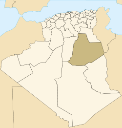 Map of Algeria highlighting Ouargla Province | |
| Country |
 Algeria Algeria |
| Province | Ouargla |
| District seat | Sidi Khouïled |
| Area | |
| • Total | 5,164 km2 (1,994 sq mi) |
| Population (2008) | |
| • Total | 32,792 |
| • Density | 6.4/km2 (16/sq mi) |
| Time zone | CET (UTC+01) |
| Communes | 3 |
Sidi Khouïled is a district in Ouargla Province, Algeria. It was named after its capital, Sidi Khouïled. As of the 2008 census, the district had a total population of 32,792.[1] Most of the population of this district lives just to the west of the provincial capital, Ouargla.
Communes
The district is further divided into 3 communes:[2]
References
- ↑ "Population: Ouargla Wilaya" (PDF) (in French). Office National des Statistiques Algérie. Retrieved 24 February 2013.
- ↑ "Official website of the province of Ouargla - state" (in Arabic). Retrieved 8 March 2013.
Capital: Ouargla | ||
| Ouargla District | 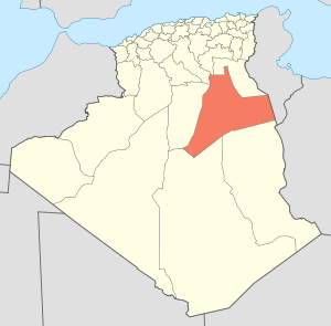 | |
| El Borma District | ||
| El Hadjira District | ||
| Hassi Messaoud District | ||
| Mégarine District | ||
| N'Goussa District | ||
| Sidi Khouïled District | ||
| Taïbet District | ||
| Témacine District | ||
| Touggourt District | ||
Coordinates: 31°58′47″N 5°25′06″E / 31.97972°N 5.41833°E
This article is issued from Wikipedia - version of the 6/21/2016. The text is available under the Creative Commons Attribution/Share Alike but additional terms may apply for the media files.