Simba, Gauteng
| Simba | |
|---|---|
  Simba  Simba  Simba
| |
|
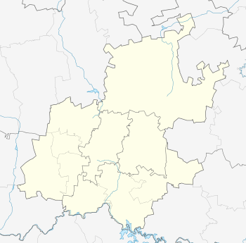
Location within Greater Johannesburg 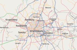 Simba | |
| Coordinates: 26°06′00″S 28°04′12″E / 26.100°S 28.070°ECoordinates: 26°06′00″S 28°04′12″E / 26.100°S 28.070°E | |
| Country | South Africa |
| Province | Gauteng |
| Municipality | City of Johannesburg |
| Main Place | Sandton |
| Area[1] | |
| • Total | 0.08 km2 (0.03 sq mi) |
| Population (2011)[1] | |
| • Total | 231 |
| • Density | 2,900/km2 (7,500/sq mi) |
| Racial makeup (2011)[1] | |
| • Black African | 65.9% |
| • Coloured | 10.3% |
| • Indian/Asian | 3.9% |
| • White | 16.4% |
| • Other | 3.4% |
| First languages (2011)[1] | |
| • English | 70.6% |
| • Northern Sotho | 7.8% |
| • Southern Ndebele | 3.9% |
| • Sotho | 3.9% |
| • Other | 13.7% |
| Postal code (street) | 2196 |
| PO box | 2031 |
Simba is a suburb of Johannesburg, South Africa. It is located in Region E.
References
- 1 2 3 4 "Sub Place Simba". Census 2011.
This article is issued from Wikipedia - version of the 8/13/2016. The text is available under the Creative Commons Attribution/Share Alike but additional terms may apply for the media files.