Sızma
| Sızma | |
|---|---|
| Town | |
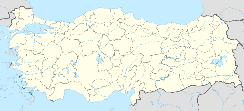  Sızma Location in Turkey | |
| Coordinates: 38°05′N 32°24′E / 38.083°N 32.400°ECoordinates: 38°05′N 32°24′E / 38.083°N 32.400°E | |
| Country |
 Turkey Turkey |
| Province | Konya Province |
| District | Selçuklu |
| Elevation | 1,433 m (4,700 ft) |
| Population (2011) | |
| • Total | 2,153 |
| Time zone | EET (UTC+2) |
| • Summer (DST) | EEST (UTC+3) |
| Postal code | 42208 |
| Area code(s) | 0332 |
| Licence plate | 42 |
Sızma is a town in Konya Province, Turkey. (Undotted ı is pronounced as e in the word Open)
Geography
Sızma is a town in Selçuklu second-level municipality in Greater Konya. The town is at 38°05′N 32°24′E / 38.083°N 32.400°E. It is a few kilometers west of the main road connecting Konya to Afyon. The highway distance to Konya is about 25 km (16 mi). The population is 2153 as of 2011 [1]
History
There are ruins of Hitites and Roman Empire in the vicinity. But the town was founded by a group of Yörüks (nomadic Oghuz Turks) in the Middle Ages. The earliest name was Sizemene; but later on, it was shortened to Sızma.[2]
Economy
There is an abandoned mercury mine in Sızma with the ore grade of 0.6 to 1%[3] that was once a major economic activity of the town. Likewise carpet weaving is also declining. Presently, the main economic activity is agriculture (cereals) and animal husbandry.