Skålebreen
| Skålebreen | |
|---|---|
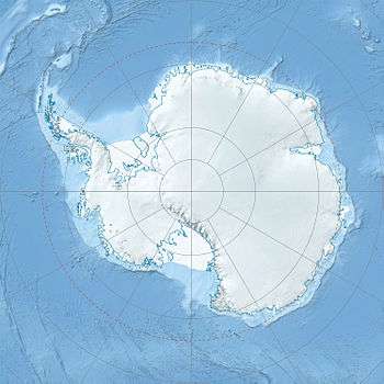  Location | |
| Location | Queen Maud Land, Antarctica |
| Coordinates | 72°6′S 3°52′E / 72.100°S 3.867°ECoordinates: 72°6′S 3°52′E / 72.100°S 3.867°E |
| Terminus | Princess Martha Coast |
Skålebreen is a glacier flowing north between Festninga Mountain and Mount Hochlin in the Mühlig-Hofmann Mountains in Queen Maud Land. Mapped by Norwegian cartographers from surveys and air photos by the Norwegian Antarctic Expedition (1956–60) and named Skålebreen.[1]
See also
References
- ↑
 This article incorporates public domain material from the United States Geological Survey document "Skålebreen" (content from the Geographic Names Information System).
This article is issued from Wikipedia - version of the 5/19/2016. The text is available under the Creative Commons Attribution/Share Alike but additional terms may apply for the media files.