Spire Point
| Spire Point | |
|---|---|
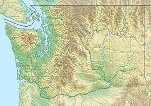  Spire Point Chelan and Skagit County, Washington, U.S. | |
| Highest point | |
| Elevation | 8,264 ft (2,519 m) [1] |
| Prominence | 784 ft (239 m) [1] |
| Coordinates | 48°19′03″N 121°04′16″W / 48.31750°N 121.07111°WCoordinates: 48°19′03″N 121°04′16″W / 48.31750°N 121.07111°W [2] |
| Geography | |
| Location | Chelan and Skagit County, Washington, U.S. |
| Parent range | Cascade Range |
| Topo map | USGS Dome Peak |
| Climbing | |
| Easiest route | class 5 |
Spire Point (8,264 feet (2,519 m)) is in Mount Baker-Snoqualmie and Wenatchee National Forests in the U.S. state of Washington.[3] On the northwest slope of Spire Point lies Spire Glacier while Dana Glacier is to the east. Ascending Spire Point is a technical climb.[4]
References
- 1 2 "Spire Point, Washington". Peakbagger.com. Retrieved March 10, 2013.
- ↑ "Spire Point". Geographic Names Information System. United States Geological Survey. Retrieved March 10, 2013.
- ↑ Dome Peak, WA (Map). TopoQwest (United States Geological Survey Maps). Retrieved March 10, 2013.
- ↑ Beckey, Fred (2003). Cascade Alpine Guide, Vol. 2; Stevens Pass to Rainy Pass. Mountaineer Books. p. 253. ISBN 978-0-89886-838-8.
This article is issued from Wikipedia - version of the 6/12/2016. The text is available under the Creative Commons Attribution/Share Alike but additional terms may apply for the media files.