St. Charles, Ontario
| St. Charles | |
|---|---|
| Municipality (single-tier) | |
| Municipality of St. Charles Municipalité de St-Charles | |
 | |
  St. Charles | |
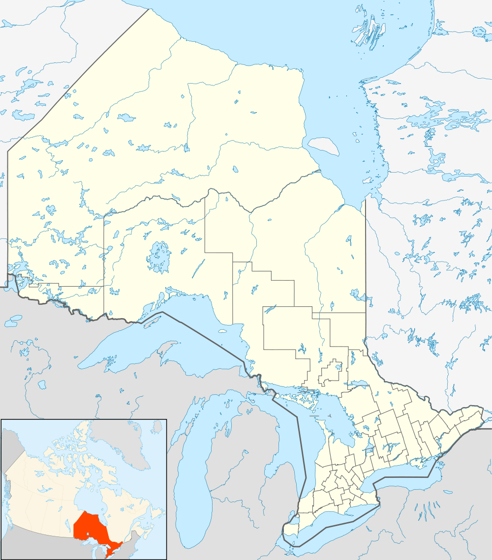
| Coordinates: 46°21′N 80°25′W / 46.350°N 80.417°WCoordinates: 46°21′N 80°25′W / 46.350°N 80.417°W | |
| Country | Canada |
| Province | Ontario |
| District | Sudbury |
| Incorporated | 1999 |
| Government | |
| • Type | Town |
| • Mayor | Paul Schoppmann |
| • Governing Body | St Charles Municipal Council |
| • MP | Marc Serré (Liberal) |
| • MPP | John Vanthof (NDP) |
| Area | |
| • Total | 321.54 km2 (124.15 sq mi) |
| Population (2011)[1] | |
| • Total | 1,282 |
| • Density | 4.0/km2 (10/sq mi) |
| Time zone | EST (UTC-5) |
| • Summer (DST) | EDT (UTC-4) |
| Area code(s) | 705 |
| Website | Municipality of St. Charles |
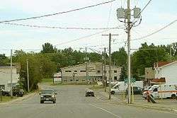
St. Charles is a town in the Canadian province of Ontario, located in the Sudbury District.
It was created on January 1, 1999 by amalgamating the political townships of Casimir, Jennings and Appleby as well as a strip of unorganized territory on the West Arm of Lake Nipissing. Along with the municipalities of Markstay-Warren and French River, it is part of the region known as Sudbury East.[2]
The town had a population of 1,282 in the Canada 2011 Census.[3] Franco-Ontarians, or Ontarians who speak French as their mother tongue, make up the majority of the population.
In addition to the primary townsite at St. Charles, the municipality also includes the smaller communities of Casimir and West Arm.
See also
References
External links
 |
Markstay-Warren | | ||
| Unorganized North Sudbury |  |
West Nipissing | ||
| ||||
 | ||||
| French River |


| Towns | 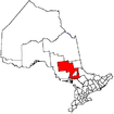 | |
|---|---|---|
| Townships | ||
| First Nations | ||
| Indian reserves | ||
| Unorganized area | ||
| Local services boards | ||
| ||
This article is issued from Wikipedia - version of the 11/13/2016. The text is available under the Creative Commons Attribution/Share Alike but additional terms may apply for the media files.