Swastika Mountain
| Swastika Mountain | |
|---|---|
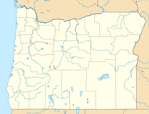  Swastika Mountain Location in Oregon | |
| Highest point | |
| Elevation | 4,197 ft (1,279 m) NAVD 88[1] |
| Prominence | 160 ft (49 m) [2] |
| Coordinates | 43°41′32″N 122°36′12″W / 43.692242211°N 122.603352081°WCoordinates: 43°41′32″N 122°36′12″W / 43.692242211°N 122.603352081°W [1] |
| Geography | |
| Location | Lane County, Oregon, U.S. |
| Topo map | USGS Holland Point |
Swastika Mountain is a summit in Lane County, Oregon, in the United States.[3] It is located within Umpqua National Forest.[4]
The mountain took its name from the extinct town of Swastika, which was reportedly so named because a rancher there branded his cattle with the image of a swastika.[5][6] George E. Thompson noted Swastika's unusual place name in You Live Where?: Interesting and Unusual Facts About Where We Live (2009).[7]
A fire lookout tower stood atop Swastika Mountain until the 1950s.[4]
References
- 1 2 "Swastika". NGS data sheet. U.S. National Geodetic Survey. Retrieved 2016-04-27.
- ↑ "Swastika Mountain, Oregon". Peakbagger.com. Retrieved 2016-04-27.
- ↑ "Swastika Mountain". Geographic Names Information System. United States Geological Survey. Retrieved 2016-04-27.
- 1 2 "Swastika Mountain Lookout Site". Lookout Sites Register. Retrieved 27 September 2014.
- ↑ "Swastikas weren't always evil". Mail Tribune. 8 November 2009. Archived from the original on September 26, 2014. Retrieved 26 September 2014.
- ↑ Friedman, Ralph (1 January 1990). In Search of Western Oregon. Caxton Press. p. 752. ISBN 978-0-87004-332-1.
- ↑ Thompson, George E. (1 July 2009). You Live Where?: Interesting and Unusual Facts about where We Live. iUniverse. p. 95. ISBN 978-1-4401-3421-0.
This article is issued from Wikipedia - version of the 10/6/2016. The text is available under the Creative Commons Attribution/Share Alike but additional terms may apply for the media files.