Sysklipos
| Sysklipos | |
|---|---|
| Σύσκληπος (Greek) Akçiçek (Turkish) | |
|
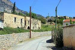
Main street and ruins in Sysklipos | |
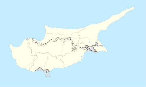  Sysklipos Location in Cyprus | |
| Coordinates: 35°17′58″N 33°10′21″E / 35.29944°N 33.17250°ECoordinates: 35°17′58″N 33°10′21″E / 35.29944°N 33.17250°E | |
| Country |
 Cyprus Cyprus |
| • District | Kyrenia District |
| Country (controlled by) |
 Northern Cyprus Northern Cyprus |
| • District | Girne District |
| Population (2011)[1] | |
| • Total | 87 |
| Time zone | EET (UTC+2) |
| • Summer (DST) | EEST (UTC+3) |
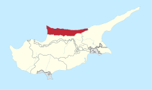
Sysklipos (Greek: Σύσκληπος, Turkish: Akçiçek) is a village in the Kyrenia District of Cyprus, located 3 km east of Larnakas tis Lapithou. It is under the de facto control of Northern Cyprus.
The Sysklipos church and many houses are now abandoned.
References
- ↑ KKTC 2011 Nüfus ve Konut Sayımı [TRNC 2011 Population and Housing Census] (PDF), TRNC State Planning Organization, 6 August 2013
This article is issued from Wikipedia - version of the 7/28/2016. The text is available under the Creative Commons Attribution/Share Alike but additional terms may apply for the media files.