Ta-hsopteng
| Ta-hsopteng | |
|---|---|
| Village | |
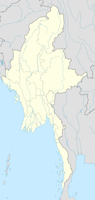  Ta-hsopteng Location in Burma | |
| Coordinates: 19°51′30″N 97°44′35″E / 19.85833°N 97.74306°ECoordinates: 19°51′30″N 97°44′35″E / 19.85833°N 97.74306°E | |
| Country |
 Burma Burma |
| State | Shan State |
| District | Langhko District |
| Township | Langhko Township |
| Elevation | 150 m (490 ft) |
| Time zone | MST (UTC+6.30) |
Ta-hsopteng or Tahsopteng [1] is a river village on the Salween River in Langhko Township, Langhko District, in the Shan State of eastern Burma. It lies on the confluence of the Salween and the Teng River.[2]
The village is located northwest of the Burma-Thailand border village of Wān Na-mon.[3][4]
References
- ↑ Geographische Gesellschaft in München (1931). Mitteilungen der Geographischen Gesellschaft in München. Geographische Gesellschaft in München. Retrieved 28 September 2011.
- ↑ GoogleEarth
- ↑ Maps (Map). Google Maps.
- ↑ Bing Maps (Map). Microsoft and Harris Corporation Earthstar Geographics LLC.
External links
Capital: Langkho | |
|

This article is issued from Wikipedia - version of the 11/1/2016. The text is available under the Creative Commons Attribution/Share Alike but additional terms may apply for the media files.