Table Mountain (Tuolumne County, California)
| Table Mountain | |
|---|---|
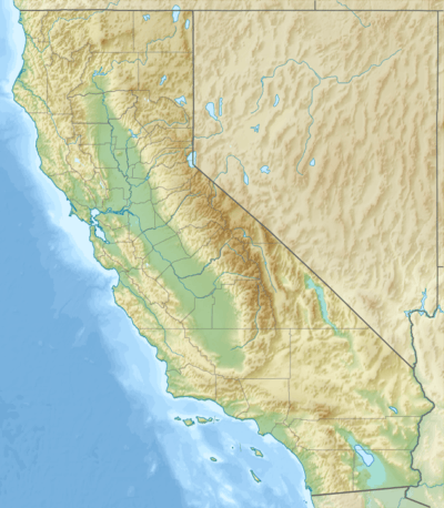  Table Mountain | |
| Highest point | |
| Elevation | 1,919 ft (585 m) NAVD 88[1] |
| Coordinates | 37°58′59″N 120°26′04″W / 37.98298°N 120.4343621°WCoordinates: 37°58′59″N 120°26′04″W / 37.98298°N 120.4343621°W [1] |
| Geography | |
| Location | Tuolumne County, California, U.S. |
| Parent range | Sierra Nevada |
| Topo map | USGS Tuolumne |
Table Mountain is a mountainous landform in Tuolumne County, California. Ten million years ago, high-potassium lava erupted from the east and filled an ancient river bed. Subsequently, the surface around the river eroded, while the hard lava protected the river from erosion. As a result, Table Mountain is an inverted valley: a river valley that is above the surrounding topography, rather than below it.[2]
A variety of flora and fauna are found on Table Mountain; included in these are many wildflowers, among which is the Yellow Mariposa Lily, Calochortus luteus.[3]
References
- 1 2 "Table Mountain". Geographic Names Information System. United States Geological Survey.
- ↑ Romans, Brian (October 2010). "Inverted Martian Topography". Wired Science.
- ↑ Hogan, C. Michael (2009). "Yellow Mariposa Lily". Globaltwitcher.com.
See also
This article is issued from Wikipedia - version of the 3/20/2016. The text is available under the Creative Commons Attribution/Share Alike but additional terms may apply for the media files.