Tamana al-Ghab
| Tamana al-Ghab تمانعة الغاب Tamaanat al-Ghab | |
|---|---|
| Village | |
  Tamana al-Ghab Location in Syria | |
| Coordinates: 35°32′6″N 36°19′3″E / 35.53500°N 36.31750°ECoordinates: 35°32′6″N 36°19′3″E / 35.53500°N 36.31750°E | |
| Country |
 Syria Syria |
| Governorate | Hama |
| District | Al-Suqaylabiyah |
| Subdistrict | Qalaat al-Madiq |
| Population (2004)[1] | |
| • Total | 2,696 |
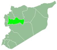
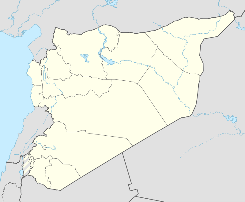
Tamana al-Ghab (Arabic: تمانعة الغاب, also spelled Tamaanat al-Ghab) is a village in northern Syria, administratively part of the Hama Governorate, located northwest of Hama. It is situated in the al-Ghab plain, east of the Orontes River. It is abutted by al-Ramlah to the north and Rasif to the south with other nearby localities including center Hurriya to the southeast, al-Huwash to the east, al-Amqiyah al-Tahta to the northeast, al-Ziyarah to the north, Nabl al-Khatib to the west and Shathah to the southwest. According to the Syria Central Bureau of Statistics (CBS), Tamana al-Ghab had a population of 2,696 in the 2004 census.[1] Its inhabitants are predominantly Sunni Muslims.[2]
According to some residents of Tamana al-Ghab, the village has been mostly abandoned in the summer of 2012 after attacks by the shabiha, a pro-government militia taking part in the ongoing Syrian civil war.[3]
References
- 1 2 General Census of Population and Housing 2004. Syria Central Bureau of Statistics (CBS). Hama Governorate. (Arabic)
- ↑ Holliday, Joseph. The Assad Regime: From Counterinsurgency to Civil War. Middle East Security Report 8. Institute for the Study of War. March 2013.
- ↑ Enders, David. Since Qubeir killings, Syrians fear rising violence between Sunnis, Alawites. McClatchy Newspapers. 2012-06-13.