Tapalpa
| Tapalpa | ||
|---|---|---|
| Municipality and city | ||
|
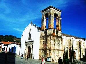
Colonial era church in Tapalpa. | ||
| ||
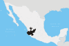
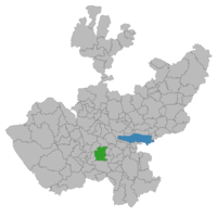 Location of the municipality in Jalisco | ||
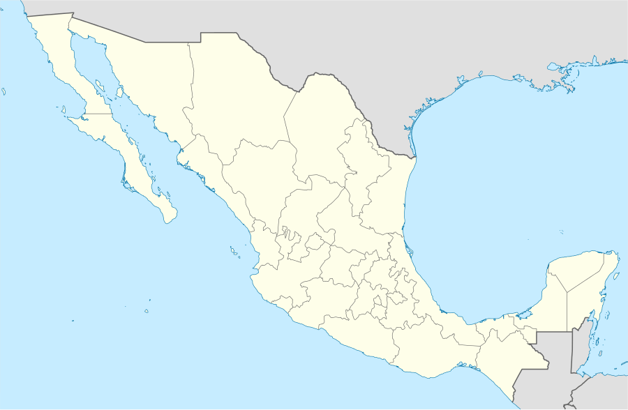  Tapalpa Location in Mexico | ||
| Coordinates: 19°36′N 103°36′W / 19.600°N 103.600°WCoordinates: 19°36′N 103°36′W / 19.600°N 103.600°W | ||
| Country |
 Mexico Mexico | |
| State | Jalisco | |
| Area | ||
| • Total | 442.15 km2 (170.72 sq mi) | |
| Population (2005) | ||
| • Total | 16,057 | |
| Time zone | Central Standard Time (UTC-6) | |
| • Summer (DST) | Central Daylight Time (UTC-5) | |
Tapalpa (Spanish  [tapa'lpa] ) is a town and municipality, in Jalisco state of central-western Mexico.
Geography
The municipality covers an area of 442.15 km².
As of 2005, the municipality had a total population of 16,057.[1]
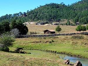
Countryside with forests.
Tourism
Tapalpa is a designated Pueblo Mágico.
Tapalpa is a mountain town surrounded by pine forests. The area is famous for the "Piedras Bolas" large (20 feet high) rocks found just outside the town limits.
The area is a popular weekend destination for residents of nearby Guadalajara. There are many excellent outdoor restaurants that specialize in grilled meats.
References
- ↑ "Tapalpa". Enciclopedia de los Municipios de México. Instituto Nacional para el Federalismo y el Desarrollo Municipal. Retrieved April 16, 2009.
 |
Wikimedia Commons has media related to Tapalpa. |

This article is issued from Wikipedia - version of the 2/19/2016. The text is available under the Creative Commons Attribution/Share Alike but additional terms may apply for the media files.