Tapogliano
| Tapogliano | |
|---|---|
| Frazione | |
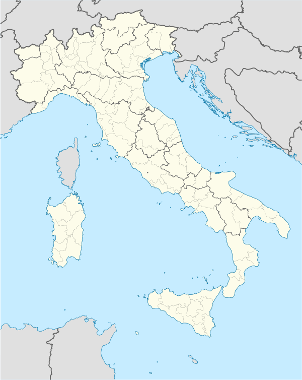  Tapogliano Location of Tapogliano in Italy | |
| Coordinates: 45°53′N 13°24′E / 45.883°N 13.400°ECoordinates: 45°53′N 13°24′E / 45.883°N 13.400°E | |
| Country |
 Italy Italy |
| Region | Friuli-Venezia Giulia |
| Province | Udine (UD) |
| Comune | Campolongo Tapogliano |
| Area | |
| • Total | 5.0 km2 (1.9 sq mi) |
| Population (Dec. 2004) | |
| • Total | 452 |
| • Density | 90/km2 (230/sq mi) |
| Demonym(s) | Tapoglianesi |
| Time zone | CET (UTC+1) |
| • Summer (DST) | CEST (UTC+2) |
| Postal code | 33040 |
| Dialing code | 0431 |
Tapogliano (Slovene: Tapoljan), is a locality and former comune (municipality) in the Province of Udine in the Italian region Friuli-Venezia Giulia, located about 40 km northwest of Trieste and about 25 km southeast of Udine. As of 31 December 2004, it had a population of 452 and an area of 5.0 km².[1]
Tapogliano bordered the following municipalities: Campolongo al Torre, Romans d'Isonzo, San Vito al Torre, Villesse.
In 2009 it became part of the newly created comune of Campolongo Tapogliano.
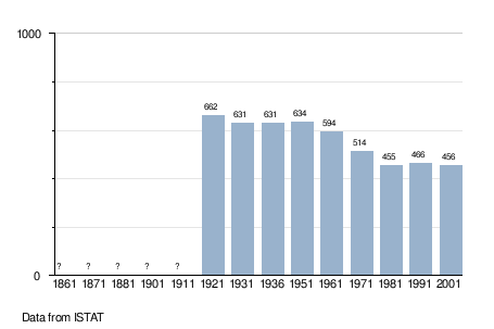
Demographic evolution
References
This article is issued from Wikipedia - version of the 6/21/2015. The text is available under the Creative Commons Attribution/Share Alike but additional terms may apply for the media files.