Tapsia
| Tapsia | |
|---|---|
| Village | |
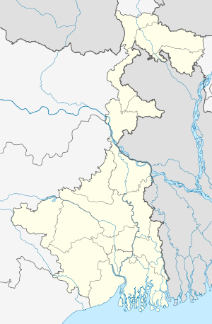  Tapsia   Tapsia Location in West Bengal, India | |
| Coordinates: 22°15′40.5″N 86°54′53.6″E / 22.261250°N 86.914889°ECoordinates: 22°15′40.5″N 86°54′53.6″E / 22.261250°N 86.914889°E | |
| Country |
 India India |
| State | West Bengal |
| District | Paschim Medinipur |
| Population (2011) | |
| • Total | 1,779 |
| Languages | |
| • Official | Bengali, English |
| Time zone | IST (UTC+5:30) |
| PIN | 721517 (Tapsia) |
| Telephone/STD code | 03221 |
| Lok Sabha constituency | Jhargram |
| Vidhan Sabha constituency | Gopiballavpur |
| Website |
purbamedinipur |
Tapsia (also spelled Tapsiya) is a village, in Gopiballavpur II CD Block in Jhargram subdivision of Paschim Medinipur district in the state of West Bengal, India.
Demographics
As per 2011 Census of India Tapsia had a total population of 1,779 of which 903 (51%) were males and 876 (49%) were females. Population below 6 years was 203. The total number of literates in Tapsia was 1,161 (65.26% of the population over 6 years).[1]
Transport
State Highway 9 (West Bengal) running from Durgapur (in Bardhaman district) to Nayagram (in Paschim Medinipur) passes through Gopiballavpur.[2]
Education
- Tapsia Vidyasagar Sikshayatan is a coeducational high school at Tapsia. [3]
References
- ↑ "2011 Census – Primary Census Abstract Data Tables". West Bengal – District-wise. Registrar General and Census Commissioner, India. Retrieved 20 November 2016.
- ↑ "List of State Highways in West Bengal". West Bengal Traffic Police. Retrieved 20 November 2016.
- ↑ "Tapsia Vidyasagar Sikhshayatan (High) Paschim Midnapur". Schoolspedia. Retrieved 20 November 2016.
Cities, towns and locations in Paschim Medinipur District | |||||||||||||||
|---|---|---|---|---|---|---|---|---|---|---|---|---|---|---|---|
| Cities, municipal and census towns |
| ||||||||||||||
| Locations other than cities and towns |
| ||||||||||||||
| Related topics |
| ||||||||||||||


This article is issued from Wikipedia - version of the 11/22/2016. The text is available under the Creative Commons Attribution/Share Alike but additional terms may apply for the media files.