Tatafa
  Tonga | |
| Location |
Tatafa ʻUiha Tonga |
|---|---|
| Coordinates | 19°52′09.2″S 174°25′38.8″W / 19.869222°S 174.427444°W |
| Foundation | pile |
| Focal height | 6 metres (20 ft) |
| Light source | solar power |
| Range | 5 nautical miles (9.3 km; 5.8 mi) |
| Characteristic | Fl G 5s. |
| Admiralty number | K4636.5 |
| NGA number | 3194.6[1] [2] |
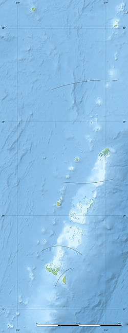
Tatafa is an islet which belongs to ʻUiha island, Tonga. It is located within the Ha'apai Group.
See also
References
- ↑ Tonga The Lighthouse Directory. University of North Carolina at Chapel Hill. Retrieved 21 October 2016
- ↑ NGA List of Lights – Pub.111 Retrieved 21 October 2016
Coordinates: 19°52′34″S 174°25′05″W / 19.876°S 174.418°W
This article is issued from Wikipedia - version of the 10/21/2016. The text is available under the Creative Commons Attribution/Share Alike but additional terms may apply for the media files.