Taukkyan
| Taukkyan | |
|---|---|
| Village | |
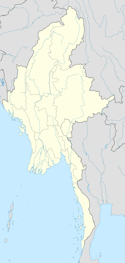  Taukkyan Location in Burma | |
| Coordinates: 23°6′N 94°1′E / 23.100°N 94.017°ECoordinates: 23°6′N 94°1′E / 23.100°N 94.017°E | |
| Country |
 Burma Burma |
| Region | Sagaing Region |
| District | Kale District |
| Township | Kale Township |
| Time zone | MST (UTC+6.30) |
Taukkyan is a village in Kale Township, Kale District, in the Sagaing Region of western Burma.[1][2]
In 1942 the Battle of the Taukkyan Roadblock was fought here between Japanese troops and Allied forces retreating from Rangoon towards India.
References
- ↑ Google Maps (Map). Google.
- ↑ Bing Maps (Map). Microsoft and Harris Corporation Earthstar Geographics LLC.
External links
This article is issued from Wikipedia - version of the 8/15/2016. The text is available under the Creative Commons Attribution/Share Alike but additional terms may apply for the media files.