Tengajhar
| Tengajhar | |
|---|---|
| Village | |
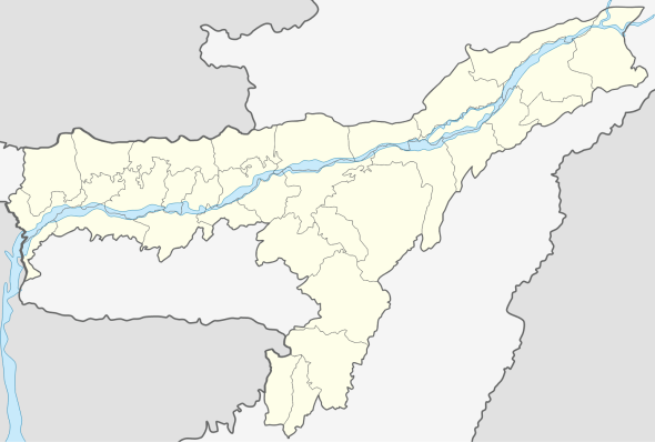  Tengajhar   Tengajhar Location in Assam, India | |
| Coordinates: 26°43′N 91°43′E / 26.72°N 91.71°ECoordinates: 26°43′N 91°43′E / 26.72°N 91.71°E | |
| Country |
 India India |
| State | Assam |
| Region | Western Assam |
| District | Kamrup |
| Government | |
| • Body | Gram panchayat |
| Elevation | 42 m (138 ft) |
| Languages | |
| • Official | Assamese |
| Time zone | IST (UTC+5:30) |
| PIN | 781364 |
| Vehicle registration | AS |
| Website |
kamrup |
Tengajhar is a village in Kamrup rural district, situated in north bank of river Brahmaputra[1]
Transport
The village is accessible through, National Highway 37, connected to nearby towns and cities with regular buses and other modes of transportation.
See also
References
- ↑ "Tengajhar". pincode.org.in. Retrieved 2015-04-29.
This article is issued from Wikipedia - version of the 10/14/2016. The text is available under the Creative Commons Attribution/Share Alike but additional terms may apply for the media files.