Thumpamon
| Thumpamon | |
|---|---|
| Village | |
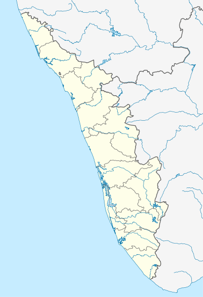  Thumpamon   Thumpamon Location in Kerala, India | |
| Coordinates: 9°13′0″N 76°43′0″E / 9.21667°N 76.71667°ECoordinates: 9°13′0″N 76°43′0″E / 9.21667°N 76.71667°E | |
| Country |
 India India |
| State | Kerala |
| District | Pathanamthitta |
| Government | |
| • Body | Thumpamon Grama Panchayat |
| Area | |
| • Total | 7.84 km2 (3.03 sq mi) |
| Population (2015) | |
| • Total | 9,875 |
| • Density | 975/km2 (2,530/sq mi) |
| Languages | |
| • Official | Malayalam, English |
| Time zone | IST (UTC+5:30) |
| PIN | 689502 |
| Telephone code | 0091-4734 |
| Vehicle registration | KL-26 |
| Nearest city | Pandalam |
| Sex ratio | 1000 Males : 1125 Females ♂/♀ |
| Literacy | 94.09% (91.97% - Females, 96.53% - Males)% |
| Civic agency | Thumpamon Grama Panchayat |
| Climate | Tropical Wet (Köppen) |
Thumpamon is a village near Pandalam(5 km Approx) in Kerala, India. One of the greatest attractions of this village is the Achenkovil River, which is renowned for its natural sceneries along the riverbank. The village relies on Non-resident Indian (NRIs) and crops like rubber, coconut, paddy and pepper. Because of Non-Resident Indians, this is one of the wealthiest villages in Kerala. Thumpamon is divided into two regions, Thumpamon North and Thumpamon South, by the Achenkovil River.
Historical & Religious edifices
- Thumpamon Vadakkumnatha Temple[1] dedicated to Vadakkumnatha is 500m away from main junction on the banks of Achankovil river.It is the one of the ancient temples in kerala.[2]
- Thumpamon Valiya Pally[3] is an ancient church located here. It is the headquarters of the Thumpamon Diocese of the Malankara Orthodox Syrian Church. The church first was built in 717 and it is among the one of oldest churches in Kerala.[4]
- Pulickal Kalari - Another historical building in this area is pulickal kalari, the traditional gymnasium giving training in attack and self-defense. During the chera chola war numerous Kalaris were established n kerala, turning Kerala into one large insurgent military camp and the famous warrior class of Cheralam (Kerala), the Nairs, formed Suicide Squads for attacking cholas.This kalari might also established during this time. But now only the building existed and the kalri is not functioning,
Gallery
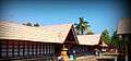 Thumpamon Vadakkumnathan Temple
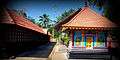 Thumpamon Vadakkumnathan Temple
 Thumpamon Vadakkumnathan Temple
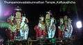 Thumpamon Vadakkumnathan Temple
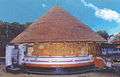 Thekkumnathan Sreekovil
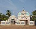 St.Mary's Orthodox Syrian Cathedral Thumpamon
.jpg) Holy Relic of Parumala Thirumeni (St.Gregorious of Parumala)
Holy Relic of Parumala Thirumeni (St.Gregorious of Parumala) Church's main door with rich wood carving
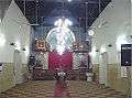 Inside view of St.Mary's Orthodox Syrian Cathedral Thumpamon
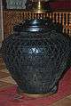 Ancient jar inside the church
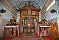 Madhboho altar
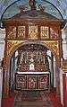 Church's Madhboho altar, close-up view
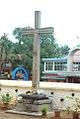 Stone Cross
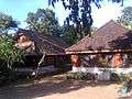 Pulickal Kalari
References
 |
Wikimedia Commons has media related to Thumpamon. |
This article is issued from Wikipedia - version of the 11/23/2016. The text is available under the Creative Commons Attribution/Share Alike but additional terms may apply for the media files.