Tingo María Airport
| Tingo María Airport Aeropuerto de Tingo María | |||||||||||
|---|---|---|---|---|---|---|---|---|---|---|---|
| IATA: TGI – ICAO: SPGM | |||||||||||
| Summary | |||||||||||
| Airport type | public | ||||||||||
| Serves | Tingo María, Huánuco, Peru | ||||||||||
| Elevation AMSL | 2,146 ft / 654 m | ||||||||||
| Coordinates | 9°17′15″S 76°00′18″W / 9.28750°S 76.00500°WCoordinates: 9°17′15″S 76°00′18″W / 9.28750°S 76.00500°W | ||||||||||
| Map | |||||||||||
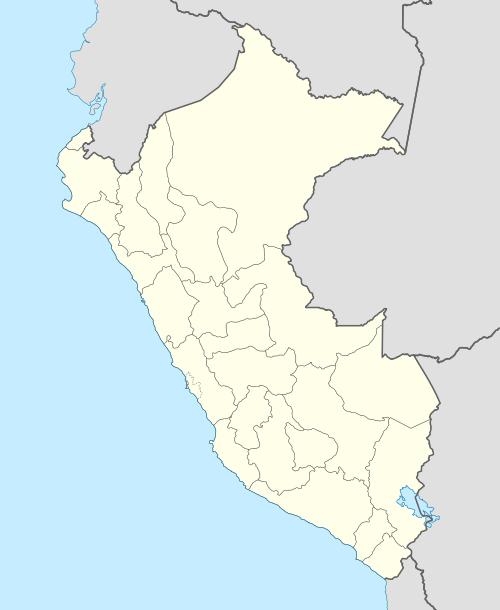  TGI Location of the airport in Peru | |||||||||||
| Runways | |||||||||||
| |||||||||||
Tingo María Airport (IATA: TGI, ICAO: SPGM) is an airport serving Tingo María, in the Huánuco Region of Peru. The runway is alongside the west bank of the Huallaga River.
The Tingo Maria non-directional beacon (Ident: TGM) is located on the field.[5]
Airlines and destinations
| Airlines | Destinations |
|---|---|
| LC Perú | Lima, Huánuco |
Accidents and incidents
- On May 20, 1989, a newly built Peruvian National Police Cessna 208 Caravan (PNP-021) that had left Tingo María, crashed into Mount Huacranacro, 100 km (62.5 mls) east of Huaral. The 9 occupants were killed.[6]
- On February 25, 1994, an Expresso Aéreo Yakovlev Yak-40 (OB-1559), piloted by two Russians and one Peruvian,[7] struck Mount Carpish six minutes after leaving Tingo María, Peru for Lima. The 31 occupants were killed.[8]
See also
References
- ↑ Airport information for SPGM at World Aero Data. Data current as of October 2006.
- ↑ Airport information for TGI at Great Circle Mapper.
- ↑ Airport information for Tingo María Airport at Search (for) Travel website.
- ↑ Google Maps - Tingo María
- ↑ SkyVector TGM
- ↑ http://aviation-safety.net/database/record.php?id=19890520-0
- ↑ "Peru Tragedia Aérea". El Tiempo.com. 1994-02-27. Retrieved 2013-04-15.
- ↑ "ASN Aircraft Accident Yakovlev OB-1559 Tingo Maria". Aviation Safety Network. Retrieved 2012-10-09.
External links
This article is issued from Wikipedia - version of the 12/4/2016. The text is available under the Creative Commons Attribution/Share Alike but additional terms may apply for the media files.