Trenton/Mountain View Airport
| Trenton/Mountain View Airport | |||||||||||||||||||
|---|---|---|---|---|---|---|---|---|---|---|---|---|---|---|---|---|---|---|---|
 | |||||||||||||||||||
| IATA: none – ICAO: none – TC LID: CPZ3 | |||||||||||||||||||
| Summary | |||||||||||||||||||
| Airport type | Military | ||||||||||||||||||
| Operator | DND | ||||||||||||||||||
| Location | Mountain View, Ontario | ||||||||||||||||||
| Time zone | EST (UTC−05:00) | ||||||||||||||||||
| • Summer (DST) | EDT (UTC−04:00) | ||||||||||||||||||
| Elevation AMSL | 362 ft / 110 m | ||||||||||||||||||
| Coordinates | 44°04′10″N 077°20′17″W / 44.06944°N 77.33806°WCoordinates: 44°04′10″N 077°20′17″W / 44.06944°N 77.33806°W | ||||||||||||||||||
| Map | |||||||||||||||||||
  CPZ3 Location in Ontario | |||||||||||||||||||
| Runways | |||||||||||||||||||
| |||||||||||||||||||
|
Source: Canada Flight Supplement[1] | |||||||||||||||||||
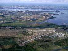
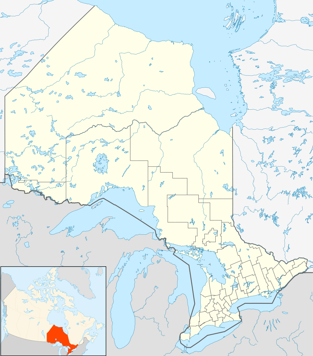
Trenton/Mountain View Airport, (TC LID: CPZ3), is located 5.2 nautical miles (9.6 km; 6.0 mi) southeast of Mountain View, Ontario, Canada.
The airport serves as a Royal Canadian Air Cadets flying centre from May until October and as a flight training centre from June until the end of August each summer. Stored at Canadian Forces Detachment Mountain View, a geographically separated detachment of CFB Trenton located at the airport, are retired Royal Canadian Air Force (RCAF) aircraft.[2]
A new gravel runway was constructed in 2006 to train RCAF Lockheed CC-130 Hercules aircraft crews in landing on unprepared landing strips.
See also
References
- ↑ Canada Flight Supplement. Effective 0901Z 15 September 2016 to 0901Z 10 November 2016
- ↑ Robertson, I. (2013). Camp Picton Wartime to Peacetime. Bloomfield, Ontario: County Magazine Printshop Ltd. ISBN 978-0-9683109-6-0.
| By name | |
|---|---|
| By location indicator | |
| By province/territory | |
| By region | |
| National Airports System | |
| Related | |
| |


This article is issued from Wikipedia - version of the 12/4/2016. The text is available under the Creative Commons Attribution/Share Alike but additional terms may apply for the media files.