Truro Aerodrome
| Truro Aerodrome | |||||||||||
|---|---|---|---|---|---|---|---|---|---|---|---|
| IATA: none – ICAO: EGHY | |||||||||||
| Summary | |||||||||||
| Airport type | Private | ||||||||||
| Operator | Truro Aerodrome Ltd | ||||||||||
| Location | Truro | ||||||||||
| Elevation AMSL | 400 ft / 122 m | ||||||||||
| Coordinates | 50°16′43″N 005°08′33″W / 50.27861°N 5.14250°WCoordinates: 50°16′43″N 005°08′33″W / 50.27861°N 5.14250°W | ||||||||||
| Map | |||||||||||
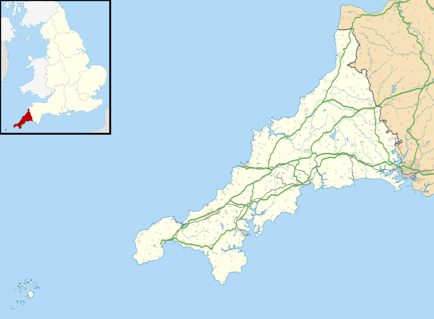  EGHY Location in Cornwall | |||||||||||
| Runways | |||||||||||
| |||||||||||
Truro Aerodrome (ICAO: EGHY) is an unlicensed aerodrome located 3 NM (5.6 km; 3.5 mi) west northwest of Truro, Cornwall, England, UK.
Its existence is threatened by plans for residential development associated with the proposed Stadium for Cornwall. [1] [2] [3]
References
- ↑ The Miller Partnership "Cornwall Stadium Location Plan" 9 December 2010. Retrieved on 28 September 2012
- ↑ This is Cornwall "Airfield close to site planned for stadium" 20 October 2011. Retrieved on 28 September 2012
- ↑ Cornwall Council "Strategic Planning Committee Report on application PA11/06124, Langarth Farm Threemilestone" 3 May 2012. Retrieved on 28 September 2012
This article is issued from Wikipedia - version of the 12/4/2016. The text is available under the Creative Commons Attribution/Share Alike but additional terms may apply for the media files.