Truxtun Historic District
|
Truxtun Historic District | |
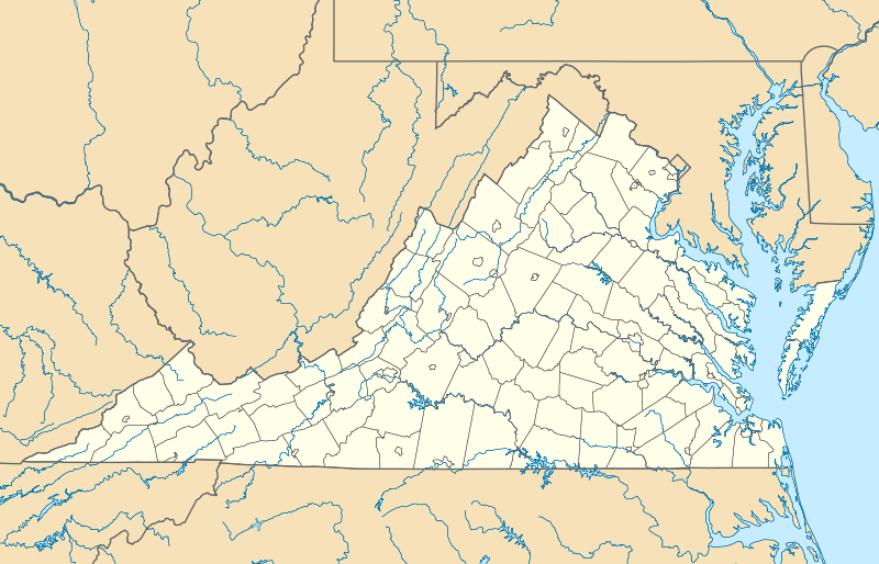   | |
| Location | Portsmouth and Deep Creek Blvds., Manly, Dahlin, Hobson, Dewey and Bagley Sts., Portsmouth, Virginia |
|---|---|
| Coordinates | 36°48′59″N 76°19′4″W / 36.81639°N 76.31778°WCoordinates: 36°48′59″N 76°19′4″W / 36.81639°N 76.31778°W |
| Area | 43 acres (17 ha) |
| Built | 1918 |
| Architect | U.S. Housing Corporation; Multiple |
| Architectural style | Colonial Revival |
| NRHP Reference # | 82004581[1] |
| VLR # | 124-0047 |
| Significant dates | |
| Added to NRHP | September 16, 1982 |
| Designated VLR | April 15, 1980[2] |
Truxtun Historic District is a national historic district located at Portsmouth, Virginia. It encompasses 241 contributing buildings in a primarily residential section of Portsmouth. It was developed between 1918 and 1920 as a planned community of Colonial Revival style single family residences. It was developed by the United States Housing Corporation as a result of the rapid influx of workers at the Norfolk Naval Shipyard during World War I. It was the first wartime government housing project constructed exclusively for African-American residents in the United States.[3]
It was listed on the National Register of Historic Places in 1982.[1]
References
- 1 2 National Park Service (2010-07-09). "National Register Information System". National Register of Historic Places. National Park Service.
- ↑ "Virginia Landmarks Register". Virginia Department of Historic Resources. Retrieved 19 March 2013.
- ↑ Lisbeth Lund Coke (April 1980). "National Register of Historic Places Inventory/Nomination: Truxtun Historic District" (PDF). Virginia Department of Historic Resources. and Accompanying photo and Accompanying map

This article is issued from Wikipedia - version of the 11/30/2016. The text is available under the Creative Commons Attribution/Share Alike but additional terms may apply for the media files.