Uberaba Airport
| Uberaba–Mário de Almeida Franco Airport Aeroporto Uberaba–Mário de Almeida Franco | |||||||||||
|---|---|---|---|---|---|---|---|---|---|---|---|
| IATA: UBA – ICAO: SBUR | |||||||||||
| Summary | |||||||||||
| Airport type | Public | ||||||||||
| Operator | Infraero | ||||||||||
| Serves | Uberaba | ||||||||||
| Elevation AMSL | 809 m / 2,655 ft | ||||||||||
| Coordinates | 19°45′53″S 047°57′58″W / 19.76472°S 47.96611°WCoordinates: 19°45′53″S 047°57′58″W / 19.76472°S 47.96611°W | ||||||||||
| Website | Infraero UBA | ||||||||||
| Map | |||||||||||
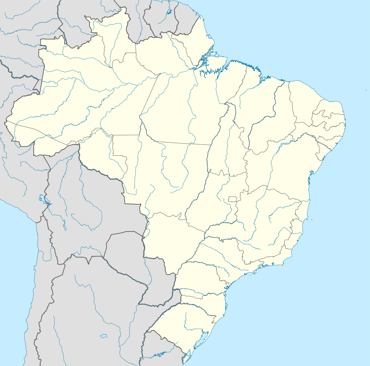  UBA Location in Brazil | |||||||||||
| Runways | |||||||||||
| |||||||||||
| Statistics (2015) | |||||||||||
| |||||||||||
Uberaba–Mário de Almeida Franco Airport (IATA: UBA, ICAO: SBUR) is the airport serving Uberaba, Brazil.
It is operated by Infraero.
History
Uberaba–Mário de Almeida Franco Airport was founded on May 23, 1935 and originally called after Alberto Santos-Dumont. On June 13, 1980 the name was changed to Mário de Almeida Franco.
Airlines and destinations
| Airlines | Destinations |
|---|---|
| Azul Brazilian Airlines | Araguaína, Belo Horizonte-Confins, Brasília, Campinas, Uberlândia |
| Gol Airlines | Belo Horizonte-Confins |
Access
The airport is located 6 km (4 mi) from downtown Uberaba.
See also
References
- ↑ "Estatísticas" (in Portuguese). Infraero. 2 February 2016. Retrieved 7 July 2016.
- ↑ "Airport Official Website" (in Portuguese). Infraero.
- ↑ "Lista de aeródromos públicos" (in Portuguese). ANAC.
External links
 |
Wikimedia Commons has media related to Uberaba Airport. |
- Airport information for SBUR at World Aero Data. Data current as of October 2006.Source: DAFIF.
- Airport information for SBUR at Great Circle Mapper. Source: DAFIF (effective October 2006).
- Current weather for SBUR at NOAA/NWS
- Accident history for UBA at Aviation Safety Network
This article is issued from Wikipedia - version of the 12/4/2016. The text is available under the Creative Commons Attribution/Share Alike but additional terms may apply for the media files.