Völkenrode
| Braunschweig-Völkenrode | ||
|---|---|---|
| Stadtteil of Braunschweig | ||
|
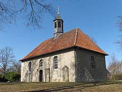
Church in Völkenrode. | ||
| ||
  Braunschweig-Völkenrode | ||
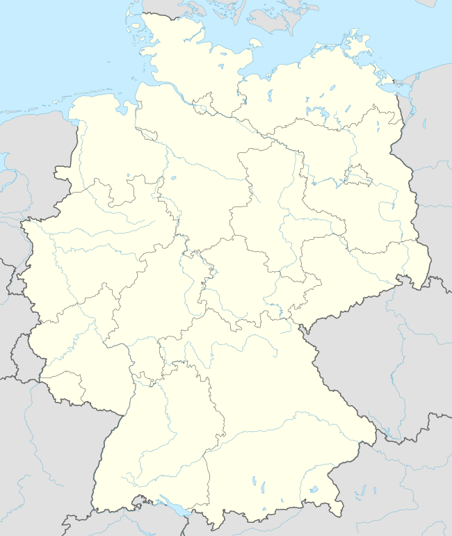
Location of Völkenrode within Braunschweig .png) | ||
| Coordinates: 52°18′17″N 10°26′33″E / 52.30472°N 10.44250°ECoordinates: 52°18′17″N 10°26′33″E / 52.30472°N 10.44250°E | ||
| Country | Germany | |
| State | Lower Saxony | |
| District | Braunschweig urban district | |
| City | Braunschweig | |
| Population (2013-12-31) | ||
| • Total | 1,731 | |
| Time zone | CET/CEST (UTC+1/+2) | |
| Postal codes | 38112 | |
| Dialling codes | 0531 | |
| Vehicle registration | BS | |

Völkenrode is a quarter of Braunschweig, Lower Saxony, Germany. Völkenrode, formerly a municipality on its own and part of the district of Braunschweig, was incorporated into the city of Braunschweig in 1974.[1]
During the Second World War, it was home to the Luftfahrtforschungsanstalt (Aeronautical Research Institute, LFA), a secret facility for airframe, aeroengine, and aircraft weapons testing.[2]
Völkenrode, and the LFA, were visited postwar by the British Ministry of Aircraft Production survey team, headed by Sir Roy Fedden.[3] Today, the Physikalisch-Technische Bundesanstalt and the former Federal Agricultural Research Centre are located on the former LFA site.
References
- ↑ "Kreisfreie Stadt Braunschweig" (PDF) (in German). statistik.niedersachsen.de.
- ↑ Christopher, John. The Race for Hitler's X-Planes (The Mill, Gloucestershire: History Press, 2013), pp.25 and 40, and map p.26.
- ↑ Christopher, pp.9-10.
External links
 |
Wikimedia Commons has media related to Völkenrode. |
- Website (German)
This article is issued from Wikipedia - version of the 5/17/2015. The text is available under the Creative Commons Attribution/Share Alike but additional terms may apply for the media files.