Vienne-en-Bessin
| Vienne-en-Bessin | ||
|---|---|---|
 | ||
| ||
  Vienne-en-Bessin | ||
|
Location within Normandy region 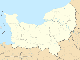 Vienne-en-Bessin | ||
| Coordinates: 49°16′48″N 0°36′31″W / 49.28°N 0.6086°WCoordinates: 49°16′48″N 0°36′31″W / 49.28°N 0.6086°W | ||
| Country | France | |
| Region | Normandy | |
| Department | Calvados | |
| Arrondissement | Bayeux | |
| Canton | Ryes | |
| Intercommunality | Bayeux Intercom | |
| Government | ||
| • Mayor (2008–2014) | Rémi Françoise | |
| Area1 | 4.10 km2 (1.58 sq mi) | |
| Population (2008)2 | 287 | |
| • Density | 70/km2 (180/sq mi) | |
| Time zone | CET (UTC+1) | |
| • Summer (DST) | CEST (UTC+2) | |
| INSEE/Postal code | 14744 / 14400 | |
| Elevation |
17–67 m (56–220 ft) (avg. 34 m or 112 ft) | |
|
1 French Land Register data, which excludes lakes, ponds, glaciers > 1 km² (0.386 sq mi or 247 acres) and river estuaries. 2 Population without double counting: residents of multiple communes (e.g., students and military personnel) only counted once. | ||

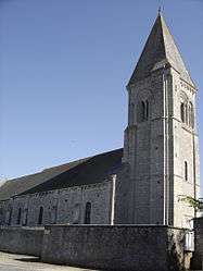
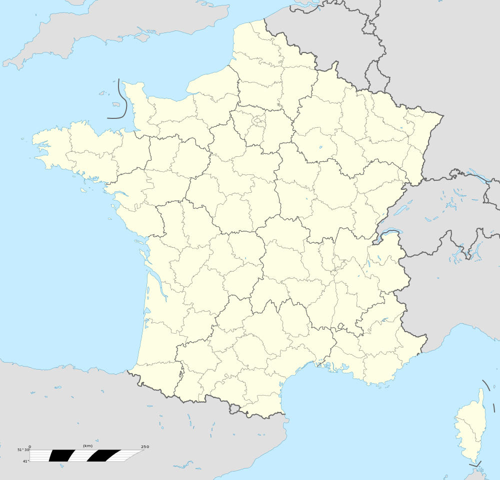
Vienne-en-Bessin is a commune in the Calvados department in the Normandy region in northwestern France.
During the latter stages of the Battle of Normandy it was the home of the Britiah Army 59th (Staffordshire) Infantry Division's battle school.
Population
| Historical population | ||
|---|---|---|
| Year | Pop. | ±% |
| 1962 | 161 | — |
| 1968 | 137 | −14.9% |
| 1975 | 122 | −10.9% |
| 1982 | 152 | +24.6% |
| 1990 | 198 | +30.3% |
| 1999 | 200 | +1.0% |
| 2008 | 287 | +43.5% |
See also
References
 |
Wikimedia Commons has media related to Vienne-en-Bessin. |

This article is issued from Wikipedia - version of the 3/16/2016. The text is available under the Creative Commons Attribution/Share Alike but additional terms may apply for the media files.