Vila Nova de Cacela
| Vila Nova de Cacela | |
|---|---|
| Parish | |
  Vila Nova de Cacela | |
| Coordinates: 37°10′26″N 7°32′02″W / 37.174°N 7.534°WCoordinates: 37°10′26″N 7°32′02″W / 37.174°N 7.534°W | |
| Country | Portugal |
| Region | Algarve |
| Subregion | Algarve |
| Intermunic. comm. | Algarve |
| District | Faro |
| Municipality | Vila Real de Santo António |
| Area | |
| • Total | 46.03 km2 (17.77 sq mi) |
| Population (2011) | |
| • Total | 3,902 |
| • Density | 85/km2 (220/sq mi) |
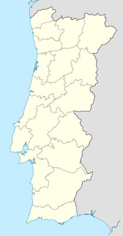
Vila Nova de Cacela, or simply Cacela, is a town and Civil parish in the municipality of Vila Real de Santo António, the southeasternmost of the Algarve, Portugal. The population in 2011 was 3,902,[1] in an area of 46.03 km².[2] Cacela is an exclave of the municipality of Vila Real de Santo António, one of only three in Portugal to have exclaves.
A lagoon and popular beaches exist by the coast of this civil parish. It is also the site of the eighteenth-century Fortaleza de Cacela.
References
This article is issued from Wikipedia - version of the 7/21/2016. The text is available under the Creative Commons Attribution/Share Alike but additional terms may apply for the media files.