Vutukuru
| Vutukuru ఊటుకురు | |
|---|---|
| Village | |
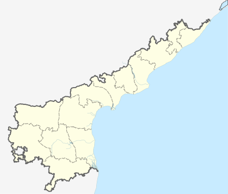  Vutukuru  Vutukuru Location in Andhra Pradesh, India | |
| Coordinates: 16°34′06″N 80°12′09″E / 16.568200°N 80.202604°ECoordinates: 16°34′06″N 80°12′09″E / 16.568200°N 80.202604°E | |
| Country | India |
| State | Andhra Pradesh |
| Region | Coastal Andhra |
| District | Guntur |
| Government | |
| • Type | Sarpanch |
| Languages | |
| • Official | Telugu |
| Time zone | IST (UTC+5:30) |
| PIN | 522410 |
| Telephone code | 08640 |
Vutukuru is a village in Guntur district of the Indian state of Andhra Pradesh. It is located in Krosuru mandal of Guntur revenue division.[1] [2] It is a part of Andhra Pradesh Capital Region.[3]
Geography
The village is located at 16.5682°N 80.2026°E. Vutukuru is surrounded by Amaravati Mandal towards East, Krosuru Mandal towards West.
See also
References
- ↑ "District Level Mandal wise List of Villages in Andhra Pradesh" (PDF). Chief Commissioner of Land Administration. Retrieved 23 June 2016.
- ↑ "Adminsistrative divisions of Guntur district" (PDF). guntur.nic.in. Retrieved 26 May 2014.
- ↑ "Declaration of A.P. Capital Region" (PDF). Andhra Nation. Municipal Administration and Urban Development Department. 22 September 2015. Retrieved 21 February 2016.
This article is issued from Wikipedia - version of the 8/27/2016. The text is available under the Creative Commons Attribution/Share Alike but additional terms may apply for the media files.