Weissfluh
| Weissfluh | |
|---|---|
|
Aerial tramway from Weissfluhjoch to Weissfluh | |
| Highest point | |
| Elevation | 2,843 m (9,327 ft) |
| Prominence | 497 m (1,631 ft) [1] |
| Isolation | 11.5 km (7.1 mi) [2] |
| Parent peak | Aroser Rothorn |
| Listing | Alpine mountains 2500-2999 m |
| Coordinates | 46°50′6.6″N 9°47′39.8″E / 46.835167°N 9.794389°ECoordinates: 46°50′6.6″N 9°47′39.8″E / 46.835167°N 9.794389°E |
| Geography | |
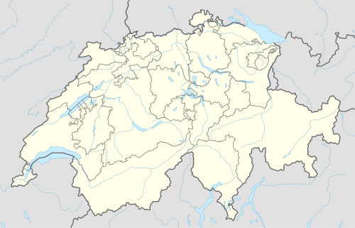  Weissfluh Location in Switzerland | |
| Location | Graubünden, Switzerland |
| Parent range | Plessur Alps |
| Climbing | |
| Easiest route | Aerial tramway |
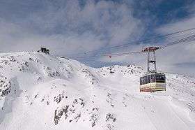
The Weissfluh is a mountain of the Plessur Alps, located above Davos in the canton of Graubünden. It is part of a ski area and the summit is served by a cable car from the Weissfluhjoch.
See also
- List of most isolated mountains of Switzerland
- List of mountains of Switzerland accessible by public transport
References
- ↑ Retrieved from the Swisstopo topographic maps. The key col is the Strelapass (2,346 m).
- ↑ Retrieved from Google Earth. The nearest point of higher elevation is northwest of the Pischahorn.
External links
This article is issued from Wikipedia - version of the 5/9/2016. The text is available under the Creative Commons Attribution/Share Alike but additional terms may apply for the media files.