West Enfield Dam
| West Enfield Dam | |
|---|---|
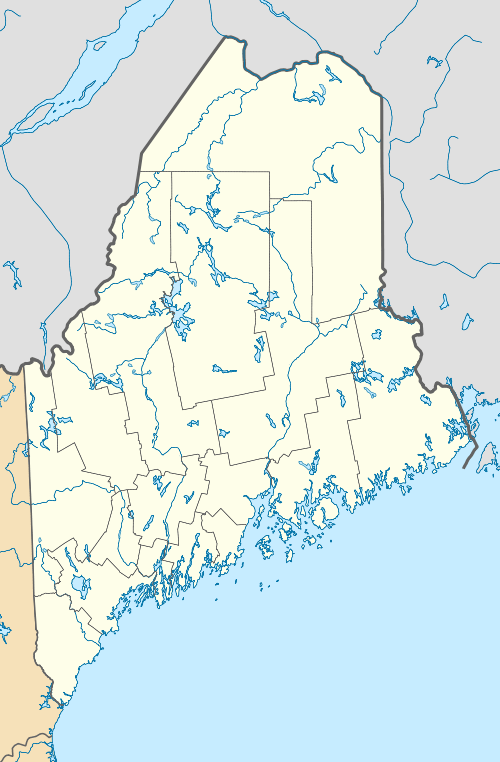  Location of West Enfield Dam in Maine | |
| Country | United States |
| Location | Penobscot County, Maine |
| Coordinates | 45°15′01″N 68°38′57″W / 45.250280°N 68.649060°WCoordinates: 45°15′01″N 68°38′57″W / 45.250280°N 68.649060°W |
| Opening date | 1894 |
| Dam and spillways | |
| Impounds | Penobscot River |
| Height | 23 ft (7 m) |
| Length | 970 ft (296 m)[1] |
| Power station | |
| Commission date | 1988 |
| Turbines | 2 × 11.4 MW bulb |
| Installed capacity | 22.8 MW |
The West Enfield Dam, also known as the Stanford Dam, is a hydroelectric dam on the Penobscot River just above its confluence with the Piscataquis River between the towns of Enfield and Howland in Penobscot County, Maine. The dam actually traverses a thin strip of the territory of the Penobscot Indian Island Reservation. The dam has a fish passage.[2] Its power plant has an 11.4 MW installed capacity.[3]
References
- ↑ "Dams in Maine". Maine.gov. Retrieved 19 December 2012.
- ↑ "Penobscot River Restoration Project" (PDF). Penobscot River Restoration Trust. Retrieved December 18, 2012.
- ↑ "Hydroelectric Plants in Maine". IndustCards. Retrieved 19 December 2012.
This article is issued from Wikipedia - version of the 9/28/2015. The text is available under the Creative Commons Attribution/Share Alike but additional terms may apply for the media files.