Willkani
| Willkani | |
|---|---|
  Willkani Peru | |
| Highest point | |
| Elevation | 5,200 m (17,100 ft) [1] |
| Coordinates | 16°38′28″S 70°09′52″W / 16.64111°S 70.16444°WCoordinates: 16°38′28″S 70°09′52″W / 16.64111°S 70.16444°W |
| Geography | |
| Location | Peru, Moquegua Region |
| Parent range | Andes |
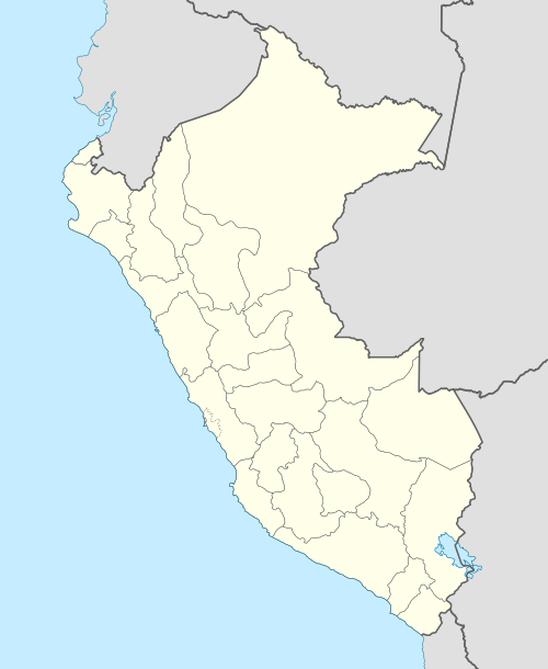
Willkani (willka or wilka Anadenanthera colubrina (a tree),[2] Aymara willka sun,[3]-ni a suffix, hispanicized spelling Huilcane, Huilcani) is a mountain in the Andes of southern Peru, about 5,200 metres (17,060 ft) high. It is located in the Moquegua Region, Mariscal Nieto Province, Carumas District, southwest of Chaka Apachita.[4]
References
- ↑ Peru 1:100,000, Hospicio 2837, Map prepared and published by the Defense Mapping Agency, Hydrographic/Topographic Center, Bethesda, MD
- ↑ Mariko Namba Walter,Eva Jane Neumann Fridman, Shamanism: An Encyclopedia of World Beliefs, Practices, and Culture, Vol. 1, p. 439 willka or vilca (Anadenanthera peregrina and Anadenanthera colubrina)
- ↑ Radio San Gabriel, "Instituto Radiofonico de Promoción Aymara" (IRPA) 1993, Republicado por Instituto de las Lenguas y Literaturas Andinas-Amazónicas (ILLLA-A) 2011, Transcripción del Vocabulario de la Lengua Aymara, P. Ludovico Bertonio 1612 (Spanish-Aymara-Aymara-Spanish dictionary)
- ↑ escale.minedu.gob.pe - UGEL map of the Mariscal Nieto Province (Moquegua Region)
This article is issued from Wikipedia - version of the 12/7/2015. The text is available under the Creative Commons Attribution/Share Alike but additional terms may apply for the media files.