Winter Haven Heights Historic Residential District
|
Winter Haven Heights Historic Residential District | |
 | |
   | |
| Location | Winter Haven, Florida |
|---|---|
| Coordinates | 28°1′27″N 81°43′22″W / 28.02417°N 81.72278°WCoordinates: 28°1′27″N 81°43′22″W / 28.02417°N 81.72278°W |
| Area | 450 acres (1.8 km2) |
| NRHP Reference # | 00000660[1] |
| Added to NRHP | June 15, 2000 |
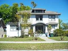
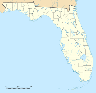
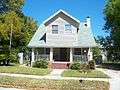
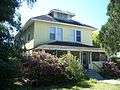
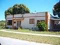
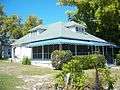
The Winter Haven Heights Historic Residential District (also known as Winter Haven Heights Historic District) is a U.S. historic district in Winter Haven, Florida. It is roughly bounded by Lake Martha, 2nd Street Northeast, 5th Street Northeast, and Avenue A Northeast, encompasses approximately 450 acres (1.8 km2), and contains 147 historic buildings. On June 15, 2000, it was added to the U.S. National Register of Historic Places.
Gallery
References
- ↑ National Park Service (2010-07-09). "National Register Information System". National Register of Historic Places. National Park Service.
External links
This article is issued from Wikipedia - version of the 11/26/2016. The text is available under the Creative Commons Attribution/Share Alike but additional terms may apply for the media files.