Xinguara Municipal Airport
| Xinguara Airport Aeroporto de Xinguara | |||||||||||
|---|---|---|---|---|---|---|---|---|---|---|---|
| IATA: XIG – ICAO: none | |||||||||||
| Summary | |||||||||||
| Airport type | Public | ||||||||||
| Serves | Xinguara, Pará, Brazil | ||||||||||
| Coordinates | 07°05′30″S 049°58′30″W / 7.09167°S 49.97500°WCoordinates: 07°05′30″S 049°58′30″W / 7.09167°S 49.97500°W | ||||||||||
| Map | |||||||||||
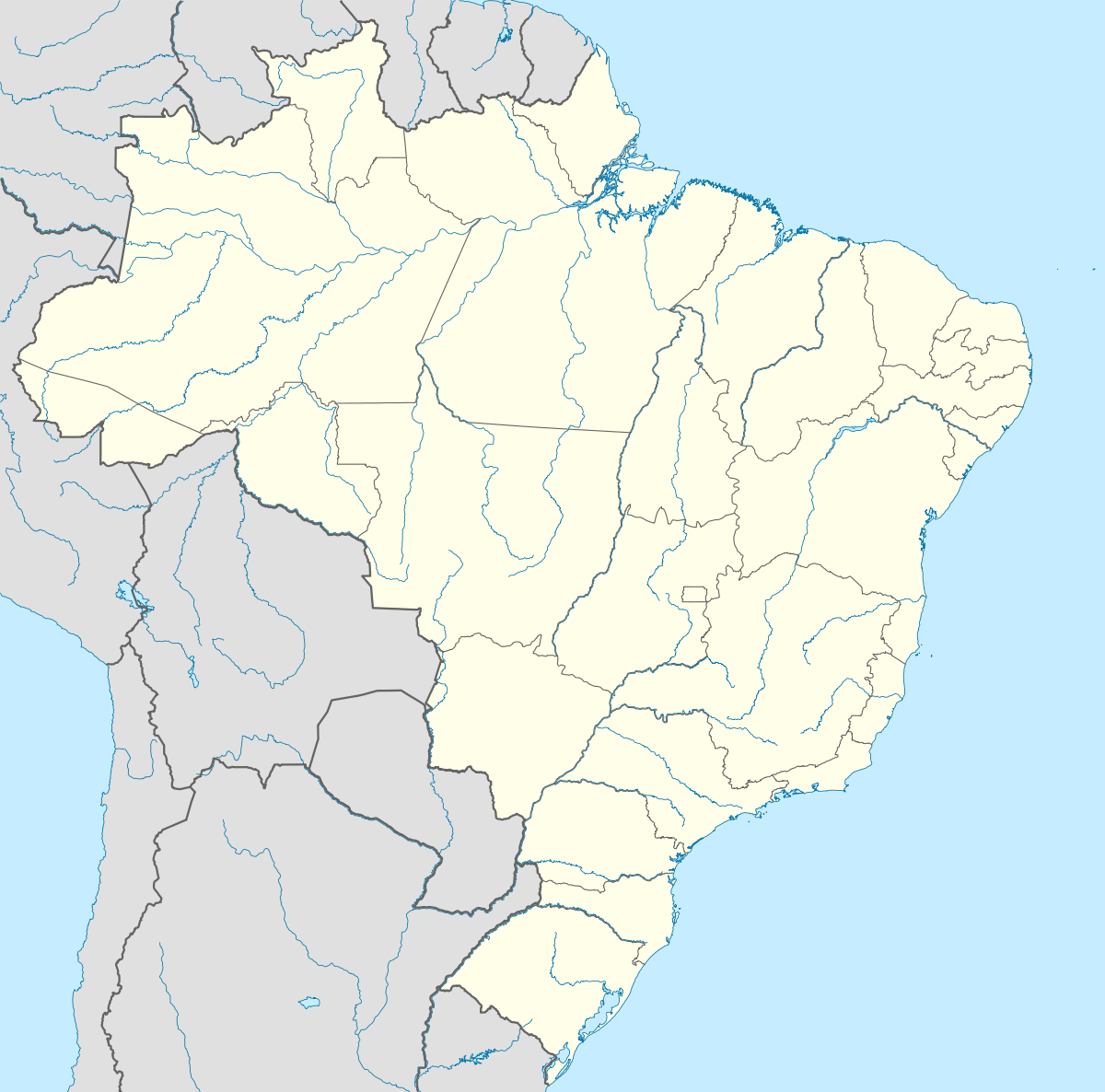  XIG Location of the airport in Brazil | |||||||||||
| Runways | |||||||||||
| |||||||||||
Xinguara Airport (IATA: XIG) is an airport serving Xinguara, in the Pará state of Brazil.
Airlines and destinations
Currently no scheduled flights operate at this airport.
Access
The airport is located 5 km (3 mi) westward from downtown Xinguara.
References
- ↑ Airport information for XIG at World Aero Data. Data current as of October 2006.
- ↑ Airport information for Xinguara Airport at Search (for) Travel website.
- ↑ "Lista de aeródromos públicos" (in Portuguese). ANAC.
External links
- Airport information for XIG at World Aero Data. Data current as of October 2006.Source: DAFIF.
- Airport information for XIG at Great Circle Mapper. Source: DAFIF (effective October 2006).
- Current weather for XIG at NOAA/NWS
- Accident history for XIG at Aviation Safety Network
This article is issued from Wikipedia - version of the 12/5/2016. The text is available under the Creative Commons Attribution/Share Alike but additional terms may apply for the media files.