Yahorlyk Kut
| Native name: <span class="nickname" ">Ягорлицький Кут | |
|---|---|
  Yahorlyk Kut | |
| Geography | |
| Coordinates | 46°17′59″N 31°49′47″E / 46.29972°N 31.82972°ECoordinates: 46°17′59″N 31°49′47″E / 46.29972°N 31.82972°E |
| Administration | |
|
Ukraine | |
| Oblast | Kherson |
| Raion | Hola Prystan |
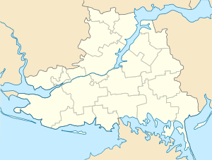
Yahorlyk Kut (Ukrainian: Ягорлицький Кут) is a peninsula in Southern Ukraine that separates Yahorlyk Bay from Gulf of Tendra. Administratively the peninsula is part of Hola Prystan Raion.
In 1959 – 1994 it was used by the Soviet Air Force as a bombing range.
References
External links
- Echoes of the Ancient Borysthenes. "Naddnipryanska Pravda plyus" at the Kherson Arts portal. 1 November 2013
This article is issued from Wikipedia - version of the 11/24/2016. The text is available under the Creative Commons Attribution/Share Alike but additional terms may apply for the media files.