Yanasinqa
| Yanasinqa | |
|---|---|
  Yanasinqa Peru | |
| Highest point | |
| Elevation | 5,400 m (17,700 ft) [1] |
| Coordinates | 11°34′28″S 76°10′19″W / 11.57444°S 76.17194°WCoordinates: 11°34′28″S 76°10′19″W / 11.57444°S 76.17194°W [2] |
| Geography | |
| Location | Peru, Junín Region |
| Parent range | Andes |
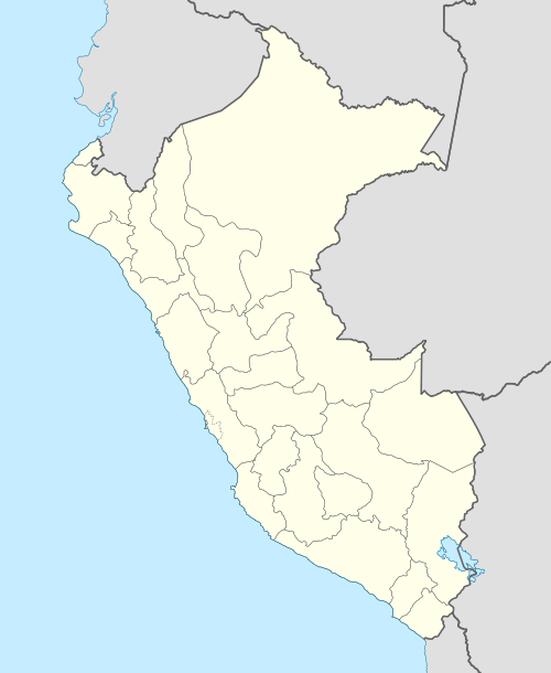
Yanasinqa (Quechua yana black, sinqa nose,[3] "black nose", hispanicized spelling Yanashinga, Yanasinga) or Yanashinqa (in the local Quechua variant) is a mountain in the Andes of Peru, about 5,400 metres (17,717 ft) high. It is situated in the Junín Region, Yauli Province, Morococha District. Yanasinqa lies north of a lake named Waqraqucha and northeast of the peak of Antikuna and the Antikuna mountain pass.[4]
The Yanasinqa glacier is one of those which have been observed regularly during a period of 24 years (1944-1968).[5]
References
- ↑ intranet2.minem.gob.pe/web, Resumen Ejecutivo - Ministerio de Energía y Minas, CESEL Ingenieros, INFORME FINAL REV. 0, Plan de Cierre de la Sociedad Minera Austria Duvaz, August 2006
- ↑ "Nevados". IGN, Peru. Retrieved June 10, 2014.
- ↑ Teofilo Laime Ajacopa, Diccionario Bilingüe Iskay simipi yuyayk'ancha, La Paz, 2007 (Quechua-Spanish dictionary)
- ↑ escale.minedu.gob.pe - UGEL map of the Yauli Province (Junín Region)
- ↑ Journal of Glaciology, Vol. 8, No. 54, 1969, U. Petersen et al., Glaciar Yanasinga (Central Peru) Measurements
This article is issued from Wikipedia - version of the 1/3/2016. The text is available under the Creative Commons Attribution/Share Alike but additional terms may apply for the media files.