Yurtbaşı
| Yurtbaşı | |
|---|---|
| Town | |
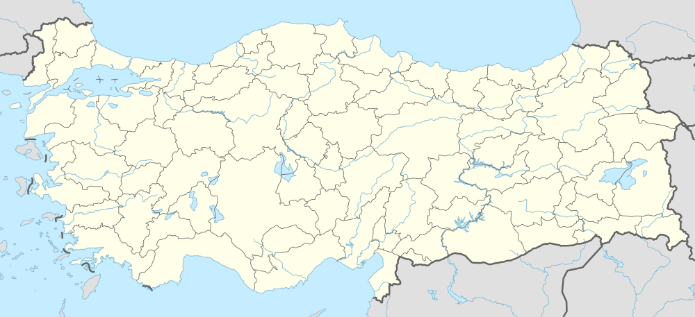  Yurtbaşı Location in Turkey | |
| Coordinates: 38°38′N 39°21′E / 38.633°N 39.350°ECoordinates: 38°38′N 39°21′E / 38.633°N 39.350°E | |
| Country |
 Turkey Turkey |
| Province | Elazığ Province |
| District | Elazığ central district |
| Elevation | 905 m (3,115 ft) |
| Population (2013) | |
| • Total | 8,034 |
| Time zone | EET (UTC+2) |
| • Summer (DST) | EEST (UTC+3) |
| Postal code | 23000 |
| Area code(s) | 0424 |
| Licence plate | 23 |
| Climate | Csa |
Yurtbaşı is a belde (town) in the central district (Elazığ) of Elazığ Province, Turkey. It is situated to the west of Keban Dam resorvoir at 38°38′N 39°21′E / 38.633°N 39.350°E.The distance to Elazığ is 12 kilometres (7.5 mi). The population of Yurtabaşı was 8034 [1] as of 2013. Main crops of the town are greenhouse grocery and wine grape (like Öküzgözü) The organized industry site of Elazığ as well as the sugar refinery are in Yurtbaşı.
References
- ↑ "Turkstat". Turkish Statistical Institute. Retrieved 26 January 2015.
This article is issued from Wikipedia - version of the 8/15/2016. The text is available under the Creative Commons Attribution/Share Alike but additional terms may apply for the media files.