Agrolândia
| Agrolândia | |||
|---|---|---|---|
| Brazilian Municipality | |||
| |||
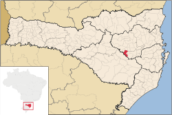 Location of Agrolândia | |||
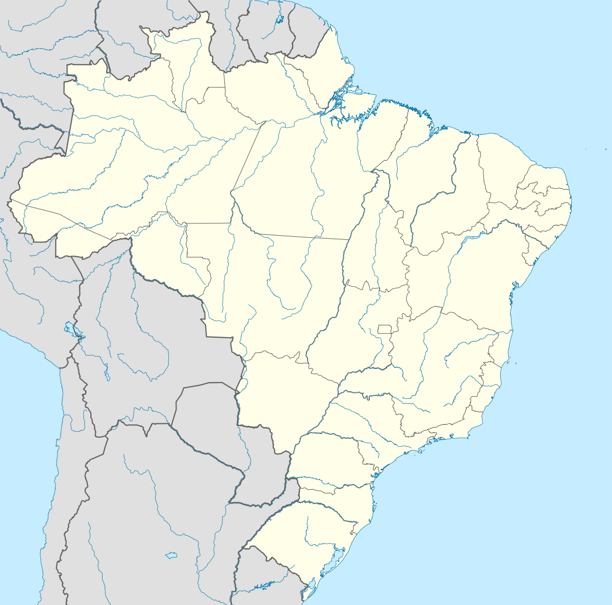  Agrolândia Location of Agrolândia | |||
| Coordinates: 27°24′43″S 49°49′33″W / 27.41194°S 49.82583°WCoordinates: 27°24′43″S 49°49′33″W / 27.41194°S 49.82583°W | |||
| Country |
 Brazil Brazil | ||
| Region | South | ||
| State |
 Santa Catarina Santa Catarina | ||
| Founded | July 25, 1962 | ||
| Government | |||
| • Mayor | Paulo Cezar Schlichting da Silva (PSDP) | ||
| Area | |||
| • Total | 207.119 km2 (79.969 sq mi) | ||
| Elevation | 364 m (1,194 ft) | ||
| Population (2006) | |||
| • Total | 8,275 | ||
| • Density | 40.0/km2 (104/sq mi) | ||
| Time zone | UTC-3 (UTC-3) | ||
| • Summer (DST) | UTC-2 (UTC-2) | ||
| HDI (2000) | 0.775 | ||
| Website | www.agrolandia.sc.gov.br | ||


Agrolândia (Agroland) is a Brazilian municipality in the state of Santa Catarina.
| |
| Blumenau | |
| Itajaí | |
| Ituporanga | |
| Rio do Sul | |
This article is issued from Wikipedia - version of the 5/15/2016. The text is available under the Creative Commons Attribution/Share Alike but additional terms may apply for the media files.