Aspendale Gardens, Victoria
| Aspendale Gardens Melbourne, Victoria | |||||||||||||
|---|---|---|---|---|---|---|---|---|---|---|---|---|---|
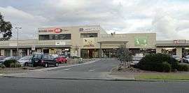 Aspendale Gardens shopping centre | |||||||||||||
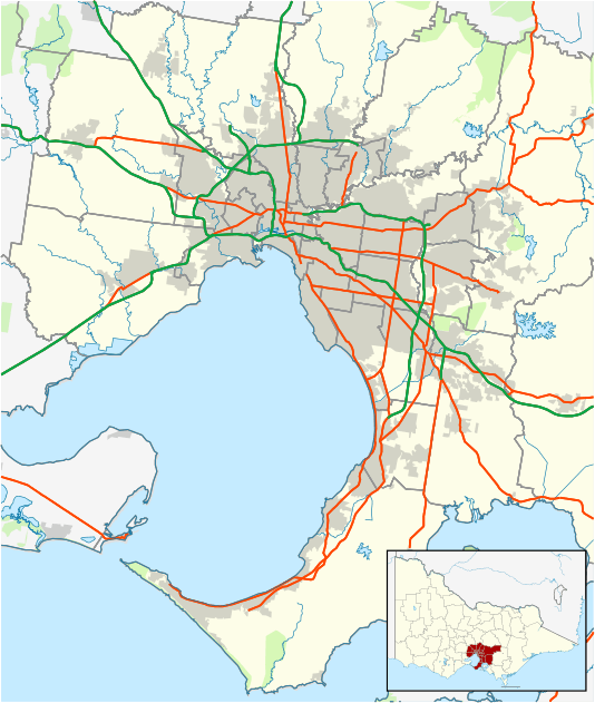  Aspendale Gardens Location in metropolitan Melbourne | |||||||||||||
| Coordinates | 38°01′22″S 145°07′08″E / 38.02278°S 145.11889°ECoordinates: 38°01′22″S 145°07′08″E / 38.02278°S 145.11889°E | ||||||||||||
| Population | 6,596 (2011 census)[1] | ||||||||||||
| • Density | 1,999/km2 (5,180/sq mi) | ||||||||||||
| Postcode(s) | 3195 | ||||||||||||
| Area | 3.3 km2 (1.3 sq mi) | ||||||||||||
| Location | 27 km (17 mi) from Melbourne | ||||||||||||
| LGA(s) | City of Kingston | ||||||||||||
| State electorate(s) | Mordialloc | ||||||||||||
| Federal Division(s) | Isaacs | ||||||||||||
| |||||||||||||
Aspendale Gardens is a suburb in Melbourne, Victoria, Australia, 27 km south-east of Melbourne's central business district.[2] Its local government area is the City of Kingston. According to the 2011 Census, Aspendale Gardens had a population of 6,596.
The main road that goes through Aspendale Gardens is called Wells Road. In Aspendale Gardens, there is a 7-Eleven petrol station, a shopping centre, a real-estate agency named iSell Group, a dentist, a kindergarten, a primary school, a vet, a community centre, a car wash, and a retirement village named Richfields.
References
- ↑ Australian Bureau of Statistics (31 October 2012). "Aspendale Gardens (State Suburb)". 2011 Census QuickStats. Retrieved 21 June 2012.
- ↑ "Postcode for Aspendale Gardens, Victoria". postcodes-australia.com.
This article is issued from Wikipedia - version of the 8/22/2016. The text is available under the Creative Commons Attribution/Share Alike but additional terms may apply for the media files.